What is recorded here
Visited in 1971 and in 1978 when the monument was described as situated in pasture on a slight rise of ground with good views of undulating countryside. A large circular area (diam. 54m N-S; 59m E-W) with domed interior defined by a scarp with slight remains of an external fosse only visible from N-E-S. No entrance feature visible. Monument visible as a cropmark on Bing Maps aerial photograph taken between 06/07 November 2011.
See attached word document for cropmark of ringfort taken from bing maps at www.bing.com/maps
Compiled by: Caimin O'Brien
Date of upload: 23 July 2013.
A fairy fort or earthen ringfort in Castlelost, likely an early-medieval agricultural or defensive site, is characterized by a large circular enclosure with a domed interior, suggesting possible ritual or symbolic use. Local tradition associates such sites with fairy lore, reflecting their enigmatic status in both archaeological and folk contexts.
The monument record does not grant public access. Check the route and ask the landowner before entering private land.
- What survives
- Recorded monument
Places near here
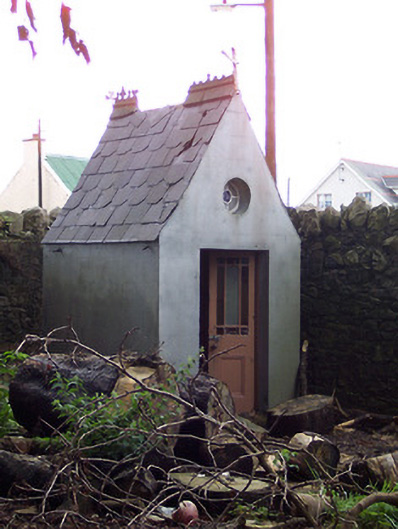 Saint Joseph's Convent of Mercyshrine/oratory/grotto · 585 yd
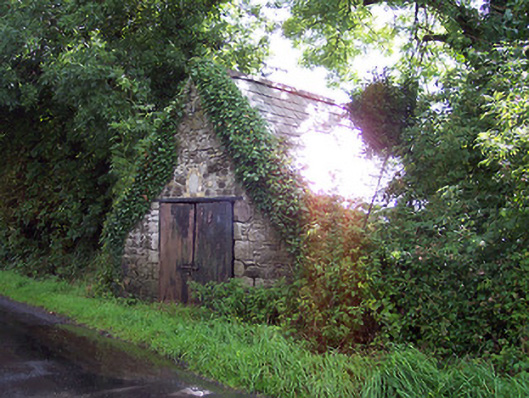 The Forgeforge/smithy · 609 yd
 OutlinedFairy fort / earthen ringfort · 720 yd
 CastleCastle, unclassified · 1217 yd
 Enclosure in Castlelost WestEnclosure · 1234 yd
 Castlelost MoatCastle, motte and bailey · 1260 yd
 Derrygreenagh HillMountain / peak · 2.8 mi
 Knockdrin HillMountain / peak · 3.8 mi
 Croghan HillMountain / peak · 4.8 mi
 Finnrenashark Holy WellSpring · 5.0 mi
 Croghan Hill WalkVisitor information · 5.1 mi
 Dysart IslandIsland · 5.6 mi