What is recorded here
Fairy fort in Castleforbes Demesne, County Longford: a 33.5m-level pasture circle enclosed by a substantial earth-and-stone bank, with a shallow external fosse and a 2.3m eastern break marking the original entrance. Modern drystone walling and infilled fosse have changed its outline, yet the ring still reads as a deliberate boundary in open ground. People may have lived, kept animals or performed rites there before the fields took it over; the fairies, according to local story, never left.
In level pasture. A raised circular area (diam. 33.5m) enclosed by a substantial bank of earth and stone (Wth 5.8-7.5m; H 1-1.5m) with a shallow external fosse (Wth 6.1-6.5m; D 0.15-0.9m). Drystone-walling on the outer face of the bank from W-WNW-NNW is modern. The fosse has been infilled from SW-W-NNW. A report in 1976 (SMR file) recorded a low outer bank from S-SW-W; it is no longer identifiable. A break (Wth 2.3m) in the bank at E marks the original entrance.
Compiled by: Patrick F. O'Donovan
Date of upload: 26 August 2011
The monument record does not grant public access. Check the route and ask the landowner before entering private land.
- What survives
- Recorded monument
Places near here
 Common LimeCommon Lime · 356 yd
 Church (in Ruins)Church · 419 yd
 Pedunculate OakPedunculate Oak · 420 yd
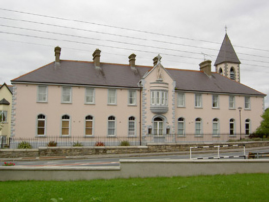 Saint Michael's Convent of Mercyconvent/nunnery · 616 yd
 CastleforbesCastle · 656 yd
 Bawn in Castleforbes DemesneBawn · 689 yd
 Grave Yard (Disused)Graveyard · 1633 yd
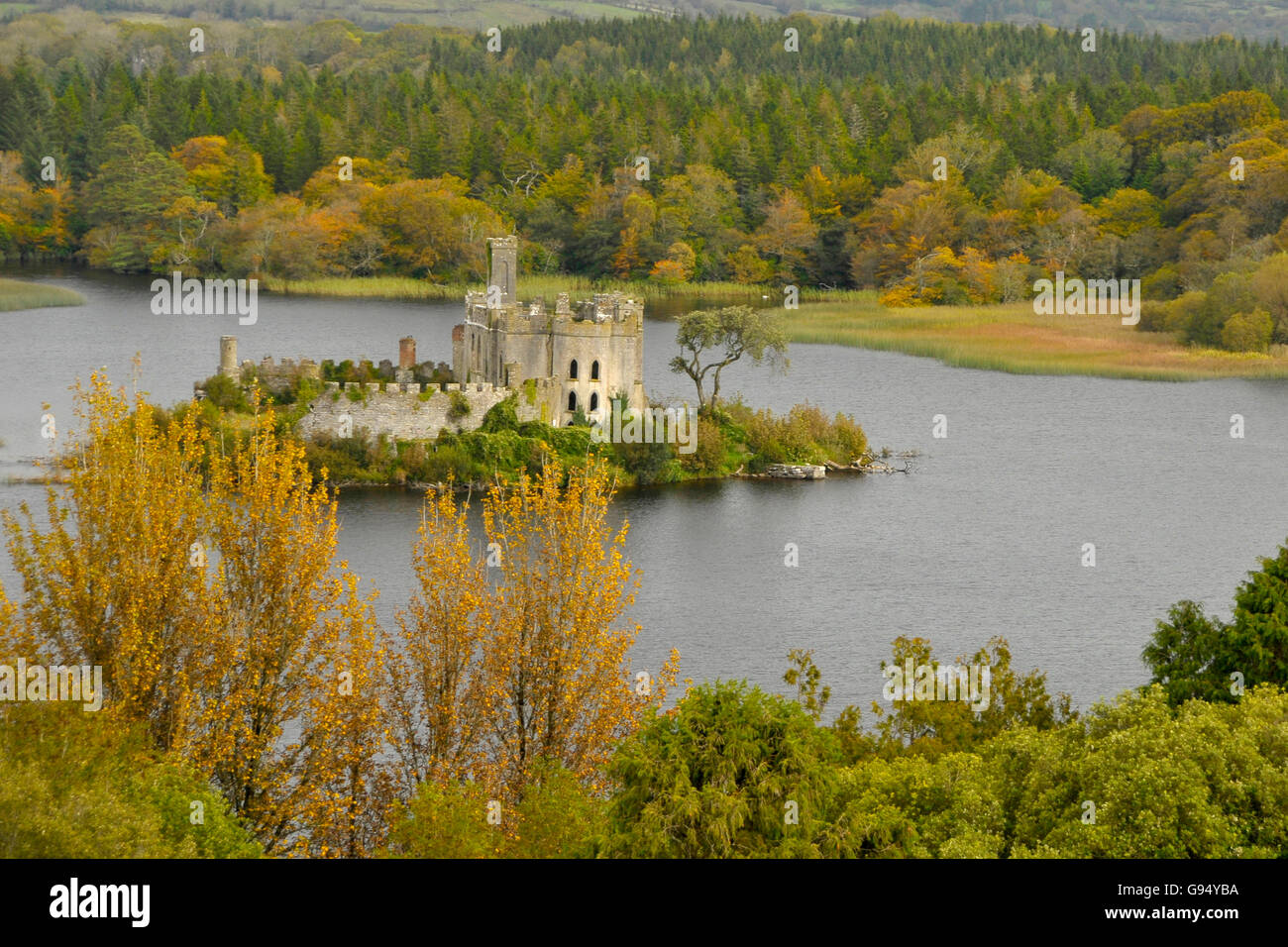 Sallow IslandCrannog · 1.2 mi
 Saint Mel's CathedralCathedral · 3.5 mi
 First World War MemorialMemorial · 3.6 mi
 Rabbit IslandIslet · 4.9 mi
 Graveyard in Curry (ardagh By., Coolamber Ed)Graveyard · 5.7 mi