What is recorded here
Fairy fort in Castleforbes Demesne, County Longford. A raised circular area, forty-seven metres across, enclosed by a bank of earth and stone seven and a half metres wide and up to twelve hundred millimetres high, except at the southeast where a scarp cuts through. An external fosse seven metres wide and up to fourteen hundred millimetres deep runs from east-southeast around to northeast. Modern drystone-walling appears in places on the outer face of the bank. A report in 1976 suggested the original entrance may have been at east-southeast. The name is a story, not a fact. The shape is a fact. Under the pasture, the ring holds its distance from every road and house. What it kept out, or kept in, has not been recorded. The bank still stands. That much is true.
In level pasture. A raised circular area (diam. 47m) enclosed by a bank of earth and stone (Wth 7.5m; H 0.3-1.2m) except at SE where a it is defined by a scarp. An external fosse (Wth 7m; D 0.4-1.4m) is evident from ESE-S-NE. In places modern drystone-walling is visible on the outer face of the bank. A report in 1976 (SMR file) suggested that the original entrance may have been at ESE.
Compiled by: Patrick F. O'Donovan
Date of upload: 28 November 2011
The monument record does not grant public access. Check the route and ask the landowner before entering private land.
- What survives
- Recorded monument
Places near here
 Bawn in Castleforbes DemesneBawn · 779 yd
 CastleforbesCastle · 811 yd
 Castle Forbesworker's house · 814 yd
 Lebanon CedarLebanon Cedar · 882 yd
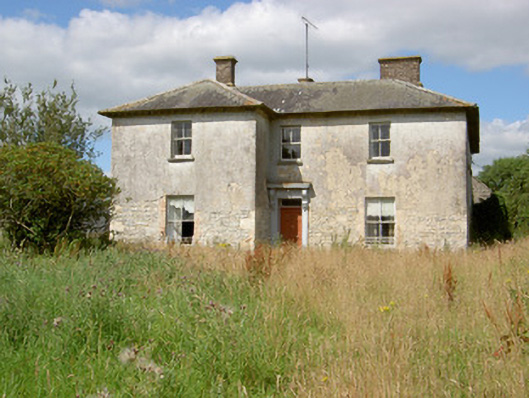 Carrickmoyragh Househouse · 921 yd
 Common LimeCommon Lime · 1100 yd
 Grave Yard (Disused)Graveyard · 1392 yd
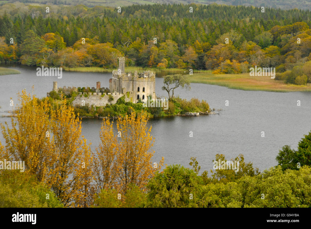 Sallow IslandCrannog · 1438 yd
 St. Barry's WellSpring · 2.1 mi
 Long IslandIslet · 2.1 mi
 Saint Mel's CathedralCathedral · 4.0 mi
 First World War MemorialMemorial · 4.0 mi