What is recorded here
No fairy ever flew here, though the name still belongs to the people who first saw the bank rise from the drumlin. A human hand built the ring, cut the fosse, and left a wide entrance facing the slope. Centuries of rain, grass and field work have since softened the edges, but the circle remains clear enough to walk inside.
Located towards the top of the SW-facing slope of a short NW-SE drumlin ridge. This is a circular grass and scrub-covered area (diam. 28m NE-SW; 25.6m NW-SE) that slopes down to the SW (H 2.6m). It is defined by an earthen bank (at NE: Wth 6.6m; int. H 1.8m; ext. H 1m) with some bushes and an outer fosse (at NE: Wth of top 4.2m; ext. D 0.4m) but the bank is reduced to a scarp (at SW: Wth 4m; H 2.3m) SE-S-NW and the fosse is absent SE-W-N. The lower part (H 1.1m) of the scarp was incorporated into a field bank S-NW and protected with a stone facing. There is a wide entrance (Wth of base 4m) at SSE.
The above description is derived from the published 'Archaeological Inventory of County Monaghan' (Dublin: Stationery Office, 1986). In certain instances the entries have been revised and updated in the light of recent research.
Date of revision: 8 December 2017
The monument record does not grant public access. Check the route and ask the landowner before entering private land.
- What survives
- Recorded monument
Places near here
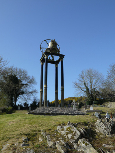 Saint Mary's Catholic Churchbell tower/stand · 1029 yd
 TobernagalliaghSpring · 1441 yd
 Man-made underground passage in CornasleeveMan-made underground passage · 1526 yd
 Fairy fort / earthen ringfort in AghacloghanFairy fort / earthen ringfort · 1529 yd
 kilnkiln · 1.3 mi
 Mannan Castle (in ruins)Castle, Anglo-Norman masonry castle · 2.1 mi
 Horse-chestnutHorse-chestnut · 2.9 mi
 Gully IslandIslet · 3.2 mi
 Rock IslandIslet · 3.4 mi
 Fincarn HillMountain / peak · 3.5 mi
 Tally WoodWood · 3.7 mi
 KnockreaghMountain / peak · 4.1 mi