What is recorded here
Cashelbeg held a circular fort on its highest point, marked clearly on the 1837 map but vanished from ground memory. That absence is not a mistake; it is a transformation. The land stopped displaying its shape and began storing it. People walked across the pasture unaware they were crossing a boundary between visibility and trust. The fort did not disappear. It stopped performing for eyes that no longer knew how to watch.
On the highest point of a prominent rise in pasture. Depicted as a circular enclosure with the designation 'Fort' on the 1837 ed. of the OS 6-inch map. The monument is not visible at ground level.
Compiled by: Patrick F. O'Donovan
Date of upload: 26 August 2011
The monument record does not grant public access. Check the route and ask the landowner before entering private land.
- What survives
- Recorded monument
Places near here
 Platform in Commons SouthPlatform · 716 yd
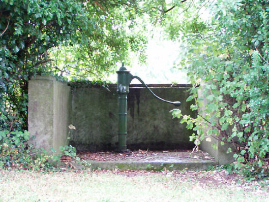 water pumpwater pump · 757 yd
 IndicatedEnclosure · 956 yd
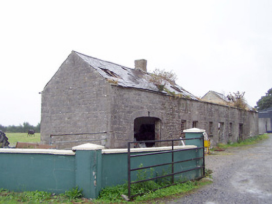 Cordara Houseoutbuilding · 1276 yd
 Caltragh CastleCastle, unclassified · 1.8 mi
 Priest's IslandIslet · 2.2 mi
 Goat's IslandIslet · 2.5 mi
 Rathcline CastleBawn · 2.5 mi
 White Sand WoodWood · 2.8 mi
 Elfeet BayBay · 3.0 mi
 Culnagore WoodForest · 3.0 mi
 Wild birdsVisitor information · 3.3 mi