What is recorded here
Thirty-two metres of packed earth circle a hidden chamber in Cashel More, marking a boundary between human memory and fairy speculation. The southeast gap cuts through layered banks like a wound, inviting entry into a space where an underground passage still breathes beneath the pasture. This is not a discarded ruin but a living threshold, shaping how people imagine visibility, ownership and transformation in West Cork.
In pasture, on break in S-facing slope. Circular slightly raised area (32m N-S; 32m E-W) enclosed by two earthen banks; third earthen bank survives (H 0.85m) S->NW. Intervening fosse survives between remaining banks; shallow fosse outside second bank NW->S, and outside third bank S->NW. Entrance to SE cuts inner bank (Wth 2.5m) and middle bank two (Wth 5m). Man-made underground passage (CO109-061003-) in interior; standing stone (CO109-061002-) removed from interior.
The above description is derived from the published 'Archaeological Inventory of County Cork. Volume 1: West Cork' (Dublin: Stationery Office, 1992). In certain instances the entries have been revised and updated in the light of recent research.
Date of upload/revision: 14 January 2009
The monument record does not grant public access. Check the route and ask the landowner before entering private land.
- What survives
- Recorded monument
Places near here
 IndicatedQuarry · 629 yd
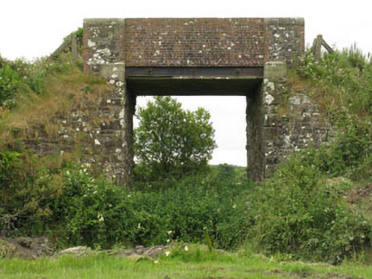 bridgebridge · 865 yd
 Burnt mound in Cashel MoreBurnt mound · 1251 yd
 Enclosure in Cashel MoreEnclosure · 1534 yd
 Tobar MacloonaboySpring · 1.5 mi
 Monteen Castle (in Ruins)Castle, tower house · 2.2 mi
 English hollyEnglish holly · 2.4 mi
 Graveyard in KilmalodaGraveyard · 2.4 mi
 Cottage Road WoodWood · 3.5 mi
 Burrane Castle (Site of)Castle, unclassified · 3.8 mi
 Argideen Valley trailVisitor information · 3.8 mi
 Johnny Sheila MurphyMemorial · 3.8 mi