What is recorded here
Fairy fort / earthen ringfort in Cashel (drumahaire By.) stands on a rocky plateau above a flat landscape, marking a boundary between human memory and forgotten life. Its shallow bank still circles the grass, but a quarry and limekiln have bitten into the heart of the ring. People may have lived, hidden or worshipped there before the stones were taken for mortar and fire. What remains is a hollowed chamber, half stolen and half remembered.
Situated on a plateau with rock outcrop in a low-lying landscape. This is a grass-covered circular area (diam. 21m NNE-SSW) defined by a low earth and stone bank (Wth 3-4.5m; H 0.2-0.5m) NW-E-SW. There is no visible fosse and the original entrance is not identified. A quarry and limekiln occupy most of the W and S parts of the interior, and a WNW-ESE field wall overlies it towards the perimeter at N.
The above description is derived from 'The Archaeological Inventory of County Leitrim' compiled by Michael J. Moore (Dublin: Stationery Office, 2003). In certain instances the entries have been revised and updated in the light of recent research.
Date of upload: 23 September 2008
The monument record does not grant public access. Check the route and ask the landowner before entering private land.
- What survives
- Recorded monument
Places near here
 IndicatedFairy fort / earthen ringfort · 1.0 mi
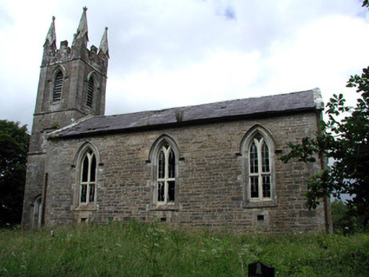 Killarga Churchchurch/chapel · 1.1 mi
 Not ineicatedFairy fort / earthen ringfort · 1.2 mi
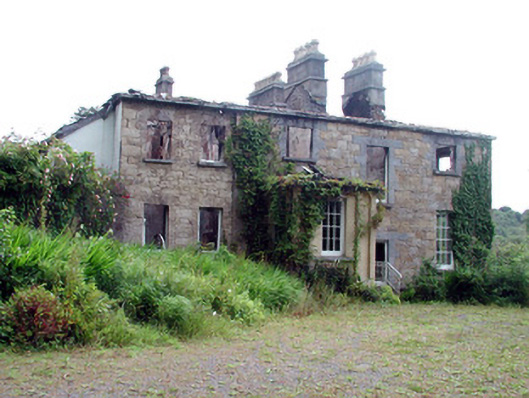 Drumlease Glebe Houserectory/glebe/vicarage/curate's house · 1.3 mi
 Green IslandIslet · 2.4 mi
 Old HallCastle, hall-house · 2.6 mi
 MoteCastle, motte · 4.0 mi
 Cullentra ForestForest · 4.5 mi
 BenboMountain / peak · 4.9 mi
 Parke's CastleHeritage attraction · 5.0 mi
 Trawane BayBay · 5.0 mi
 InnisfreeIslet · 5.2 mi