What is recorded here
Rain fills the shallow ditch every winter, turning the fort into a dark mirror that reflects the sky instead of the land. People called it a fairy fort because the wet ground and dense scrub make it feel hidden, but the measured bank and broken entrance suggest human hands shaped it for living or defending. The field boundary has eaten part of the circuit, yet the oval still holds its shape in the pasture.
In wet low-lying pasture. A raised roughly oval area (48.7m NNW-SSE; 33.1m ENE-WSW) enclosed by a low bank of earth and stone (Wth 3.4m; H 1.1m max.) with a shallow, waterlogged, external fosse (Wth 2.9m; D 0.3m). From W-N-NNE the circuit and morphology of the bank have been modified where it is incorporated into a NE-SW field boundary. A break (Wth 1.7m) in the bank at ENE with traces of an accompanying causeway may mark the original entrance. The ground level of the NE half of the interior is considerably higher than that of the SW half. The rath is densely overgrown with scrub.
Compiled by: Patrick F. O'Donovan
Date of upload: 26 August 2011
The monument record does not grant public access. Check the route and ask the landowner before entering private land.
- What survives
- Recorded monument
Places near here
 Enclosure in LismoreEnclosure · 748 yd
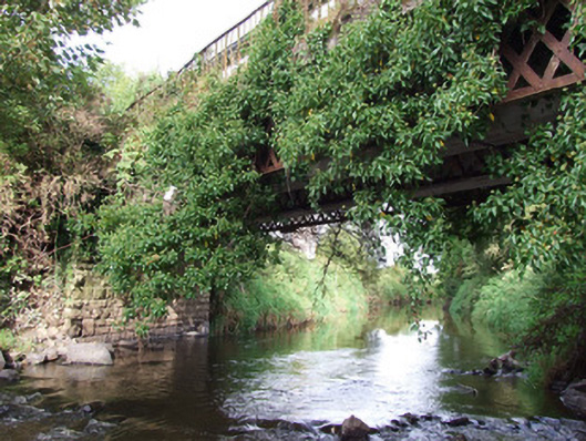 bridgebridge · 973 yd
 Enclosure in MinardEnclosure · 1089 yd
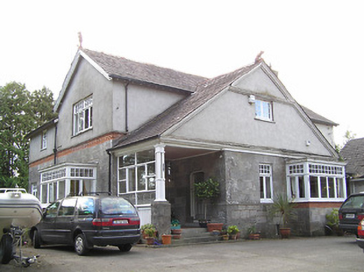 Winstonhouse · 1298 yd
 Bawn in AbbeycartronBawn · 1688 yd
 Saint Mel's CathedralCathedral · 1.3 mi
 First World War MemorialMemorial · 1.3 mi
 Pedunculate OakPedunculate Oak · 2.1 mi
 Common LimeCommon Lime · 2.2 mi
 Graveyard in Curry (ardagh By., Coolamber Ed)Graveyard · 3.6 mi
 CastleCastle, Anglo-Norman masonry castle · 4.5 mi
 Commons North WalkVisitor information · 8.5 mi