What is recorded here
Half a kilometre west of the last road, two earthen banks still hold their shape against the sky. The gap at the south-east invites entry, but the marsh beyond swallows footsteps without mercy. People built this place to watch the water, not to be watched by it.
On a rise in undulating grassland overlooking marshy terrain to W and N. Well- preserved subcircular rath (E-W 52m, N-S 49m) defined by two banks and an intervening fosse. The monument has been quarried out at E. Well-defined entrance gap and causeway at SE. A possible lake dwelling (GA030-037----) lies c. 300m to NW.
The above description is derived from the published 'Archaeological Inventory of County Galway Vol. II - North Galway'. Compiled by Olive Alcock, Kathy de hÓra and Paul Gosling (Dublin: Stationery Office, 1999).
Date of upload: 05 August 2010
The monument record does not grant public access. Check the route and ask the landowner before entering private land.
- What survives
- Recorded monument
Places near here
 MonumentLeacht cuimhne · 739 yd
 Knockavanny Housedemesne walls/gates/railings · 1228 yd
 Castle (in ruins)Castle, tower house · 1643 yd
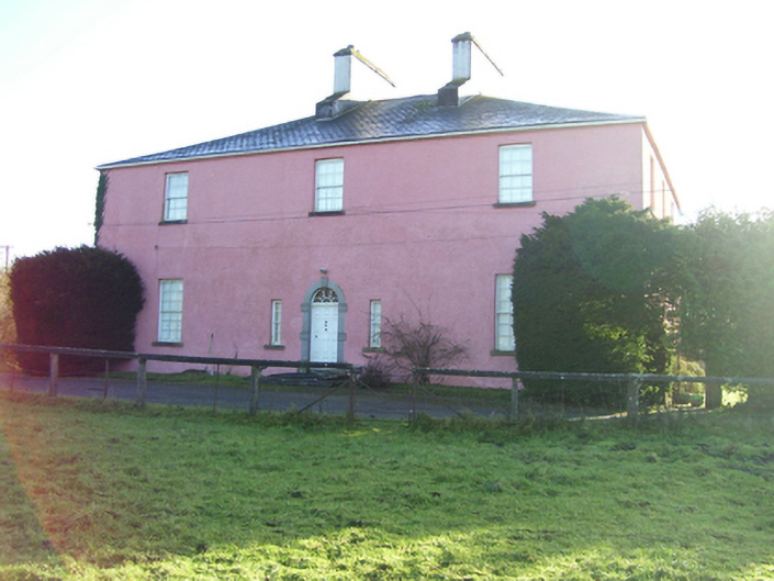 Birmingham Househouse · 1664 yd
 Enclosure in BracklaghEnclosure · 1.2 mi
 CastleCastle, unclassified · 2.9 mi
 European ashEuropean ash · 4.8 mi
 Mass RockNamed rock · 6.3 mi
 KnockmaaWood · 8.0 mi
 Country house in Birmingham DemesneCountry house · 1668 yd
 Aghloragh Church (in ruins)Church · 1.1 mi
 Castlemoyle Ho.House, 18th/19th century · 1.4 mi