What is recorded here
Fairy fort / earthen ringfort in Cartronlebagh stands on low-lying, wet ground in County Longford, Ireland. Its doubled banks and flooded ditches mark a place where water, not stone, did most of the holding.
On low-lying, wet ground. A raised circular area (diam. 25.9m) enclosed by a low bank of earth and stone (Wth 4.2m; H 0.1-0.4m) with an intervening fosse (Wth 5.4m; D 0.6m), outer bank (Wth 7.2m; H 0.6m) and outer fosse (Wth 2.8m; D 0.4m). Both fosses are extremely waterlogged. The rath is divided into roughly equal portions by a modern ENE–WSW field boundary. The S half has been levelled and only its outline is identifiable. The original entrance is not recognisable.
Compiled by: Patrick F. O'Donovan
Date of upload: 14 February 2012
The monument record does not grant public access. Check the route and ask the landowner before entering private land.
- What survives
- Recorded monument
Places near here
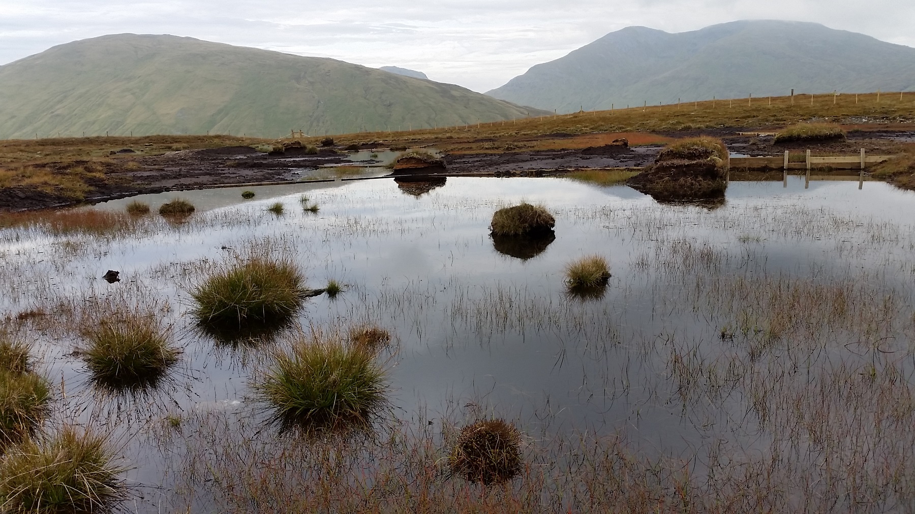 StructureStructure, peatland · 414 yd
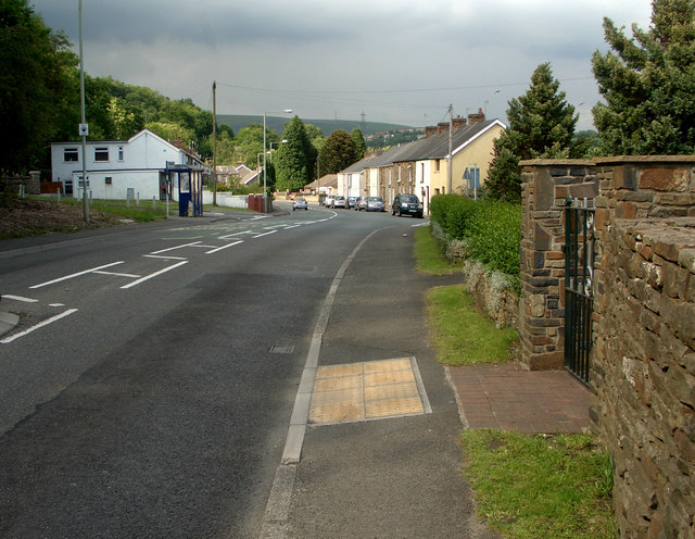 RoadRoad, class 3 togher · 584 yd
 post boxpost box · 662 yd
 Fulacht fia in Aghareagh (longford By.)Fulacht fia · 1.5 mi
 Bawn in AbbeycartronBawn · 2.5 mi
 First World War MemorialMemorial · 2.6 mi
 Saint Mel's CathedralCathedral · 2.7 mi
 Graveyard in Curry (ardagh By., Coolamber Ed)Graveyard · 2.9 mi
 Bawn in LissardowlanBawn · 5.9 mi
 Commons North WalkVisitor information · 6.4 mi
 Wild birdsVisitor information · 6.6 mi
 White Sand WoodWood · 7.0 mi