What is recorded here
Fairy fort / earthen ringfort in Cartronabree is a fairy fort or earthen ringfort in Cartronabree, County Sligo, Ireland. The circular area measures twenty-four metres across and is enclosed by a bank, but a field boundary cuts through part of the structure. The entrance faces west, and an L-shaped depression inside may mark the remains of a collapsed underground passage.
Circular area (int. diam. 24m) truncated by a field boundary and enclosed by a bank but there is no indication of a ditch. The entrance is on the W. An L-shaped depression in the interior may be the remains of a collapsed Man-made underground passage (SL020-023002-).
Compiled by: Geraldine Stout
Date of upload: 31 July 2013
The monument record does not grant public access. Check the route and ask the landowner before entering private land.
- What survives
- Recorded monument
Places near here
 IndicatedFairy fort / earthen ringfort · 356 yd
 TemplenagalliaghdooReligious house, unclassified · 485 yd
 CarrigeenfaddaIslet · 658 yd
 Field boundary in Carrowcrin (carbury By.)Field boundary · 676 yd
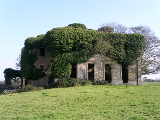 Lisheenhouse · 773 yd
 The GlenWood · 1.0 mi
 Castle (in Ruins)Castle, unclassified · 1.2 mi
 RinnatalleenHeadland · 1.3 mi
 Derinch PointHeadland · 1.3 mi
 Knocknarea trailWalking route · 1.6 mi
 KnocknareaMountain / peak · 1.8 mi
 Carrowmore Visitors CentreVisitor information · 2.1 mi