What is recorded here
No one knows when the fort vanished, but the land keeps its own calendar. A thirty-metre circle once stood in Cartron grassland, likely a home or marker for people long gone. The earth may have swallowed it, the fields changed, or the fort completed its work and let go. What is certain is that the shape was seen, recorded, and lost before modern cameras arrived.
In level grassland. Marked on 1st ed. of OS 6-inch map as a circular enclosure (D c. 30m) but on 3rd ed. (1947) only SW sector appears. No visible surface trace survives.
The above description is derived from the published 'Archaeological Inventory of County Galway Vol. II - North Galway'. Compiled by Olive Alcock, Kathy de hÓra and Paul Gosling (Dublin: Stationery Office, 1999).
Date of upload: 05 August 2010
The monument record does not grant public access. Check the route and ask the landowner before entering private land.
- What survives
- Recorded monument
Places near here
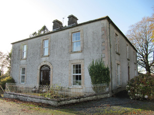 Cartron Househouse · 86 yd
 Quarry in BallyterrimQuarry · 555 yd
 Enclosure in Cartron (clonmacnowen By.)Enclosure · 578 yd
 Bawn in Cooltymurraghy (clonmacnowen By.)Bawn · 1290 yd
 LisnafairyFairy fort / ringfort · 1534 yd
 Park CastleCastle, hall-house · 1734 yd
 The bloody HollowHeritage attraction · 2.1 mi
 Battle of AughrimMajor battlefield · 2.2 mi
 European BeechEuropean Beech · 2.6 mi
 European YewEuropean Yew · 2.7 mi
 Urraghry HillMountain / peak · 2.7 mi
 Battle of Aughrim Interpretative CentreMuseum · 2.8 mi