What is recorded here
Mutton and bacon, potato bread and butter, brown bread and butter, cheese and pickle, jam and butter, tea or coffee, milk and sugar.
Close to the top of a ridge in rolling grassland. Circular rath (D 47.5m), in fair condition, defined by a bank and external fosse; the latter is visible at SW and from NW through N to NE. Quarrying has encroached upon the enclosing elements at S and W. Gaps at N, E and ESE appear modern.
The above description is derived from the published 'Archaeological Inventory of County Galway Vol. II - North Galway'. Compiled by Olive Alcock, Kathy de hÓra and Paul Gosling (Dublin: Stationery Office, 1999).
Date of upload: 05 August 2010
The monument record does not grant public access. Check the route and ask the landowner before entering private land.
- What survives
- Recorded monument
Places near here
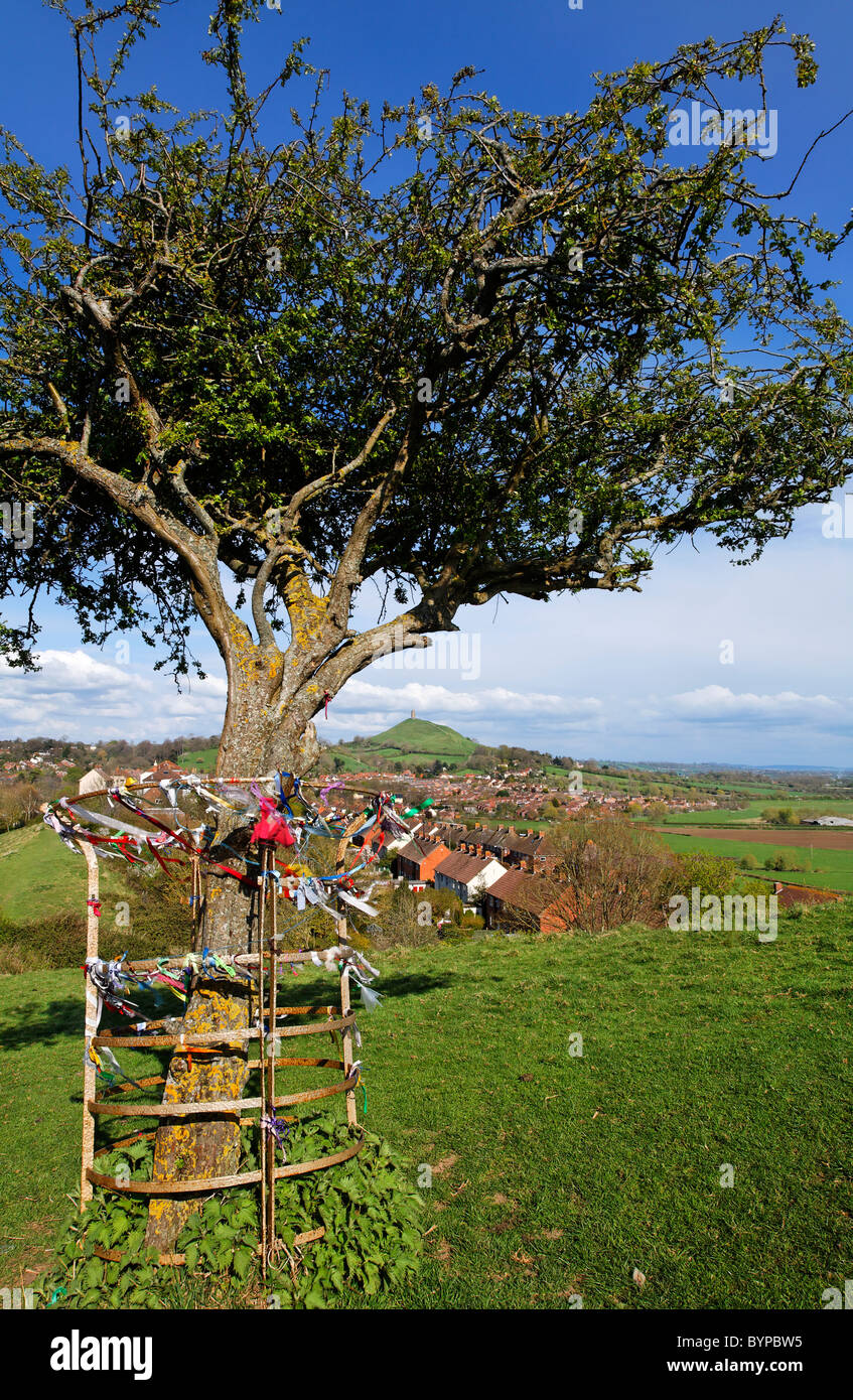 Ritual siteRitual site, holy tree/bush · 490 yd
 Enclosure in Carrowrevagh MoreEnclosure · 978 yd
 Brownnsgrove Housedemesne walls/gates/railings · 1263 yd
 Saint Patrick's Catholic Churchchurch/chapel · 1.4 mi
 Site of Doonbally CastleCastle, unclassified · 2.0 mi
 Castle (in ruins)Castle, tower house · 2.9 mi
 European ashEuropean ash · 4.9 mi
 Mass RockNamed rock · 6.8 mi
 Knockmoy AbbeyHeritage attraction · 8.8 mi
 KnockmaaWood · 9.5 mi
 Enclosure in Carrowntanlis,carrowrevagh MoreEnclosure · 1054 yd
 Beagh FortFairy fort / earthen ringfort · 1.1 mi