What is recorded here
No visible fort remains in Carrownphull, only a dark grass band marking the vanished fosse on wet pasture. That missing line preserves the shape of a place people walked, defended or forgot before the land took it back.
On a gentle SSE-facing slope in wet low-lying pasture. A report in 1977 (SMR file) noted that this slightly raised circular area (diam. 36.5m; H 0.2m) was enclosed by a bank of earth and stone with an external fosse. The original entrance may have been either at W or N. Within the interior at S were a series of large stones aligned E-W, of unknown significance, with a large boulder lying immediately to the N of the W end. The bank and fosse have since been levelled but the outline of the fosse is indicated by a band of dark grass (Wth 5.5m). The other features noted are no longer evident.
Compiled by: Patrick F. O'Donovan
Date of upload: 26 August 2011
The monument record does not grant public access. Check the route and ask the landowner before entering private land.
- What survives
- Recorded monument
Places near here
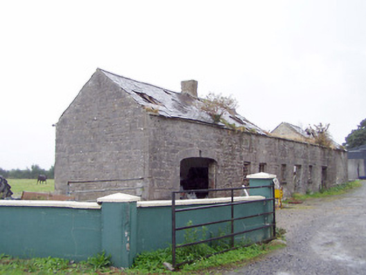 Cordara Houseoutbuilding · 904 yd
 IndicatedEnclosure · 1002 yd
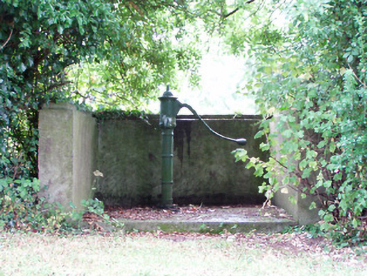 water pumpwater pump · 1214 yd
 Platform in Commons SouthPlatform · 1454 yd
 Caltragh CastleCastle, unclassified · 2.0 mi
 Rathcline CastleBawn · 2.4 mi
 White Sand WoodWood · 2.6 mi
 Priest's IslandIslet · 2.6 mi
 Goat's IslandIslet · 2.7 mi
 Wild birdsVisitor information · 3.1 mi
 Commons North WalkVisitor information · 3.4 mi
 Culnagore WoodForest · 3.4 mi