What is recorded here
Fairy fort / earthen ringfort in Carrownloughan is a fairy fort or earthen ringfort in Carrownloughan, County Sligo, Ireland. It occupies rough pasture on level ground near the base of a north-facing ridge slope. A three-metre-wide earthen bank encloses a twenty-five-point-eight-metre circular area with several gaps, including larger openings at the northwest and east. A field boundary and drain now press against the outer edge of the bank from the east to the south.
In rough pasture, on level ground near the base of a N-facing slope of a ridge. A raised circular area (diam. 25.8m) enclosed by an earthen bank (Wth 3m; int. H 0.55m; ext. H 1.2m). There are several gaps in the bank, the largest (Wth c. 1.4m) are at NW and E. A field boundary and an associated drain are built against the external face of the bank E-S. The interior is level.
The above description is derived from the published 'Archaeological Inventory of County Sligo' compiled by Ursula Egan, Elizabeth Byrne, Mary Sleeman with Sheila Ronan and Connie Murphy (Dublin Stationery Office, 2005).
Date of upload: 18 January 2008
The monument record does not grant public access. Check the route and ask the landowner before entering private land.
- What survives
- Recorded monument
Places near here
 Man-made underground passage in CarhaMan-made underground passage · 1444 yd
 IndicatedEnclosure · 1467 yd
 KnocknasheeMountain / peak · 1.3 mi
 Church (in Ruins)Church · 1.4 mi
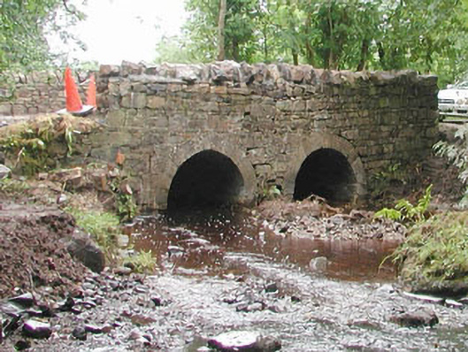 bridgebridge · 1.5 mi
 CastleCastle, unclassified · 2.7 mi
 European ashEuropean ash · 3.1 mi
 ElderElder · 3.7 mi
 CloonaghMountain / peak · 3.9 mi
 Moymlough Castle (in Ruins)Castle, tower house · 4.7 mi
 The Turf Stack RockNamed rock · 4.9 mi
 Ballinlig PointHeadland · 7.6 mi