What is recorded here
Fairy fort / earthen ringfort in Carrowndangan is a fairy fort or earthen ringfort in Carrowndangan, County Roscommon, Ireland. A 1978 description recorded a circular area thirty-four metres north-south and thirty-six metres east-west defined by an earthen bank and shallow fosse. A fifteen-metre fragment of the bank, three point seven metres wide and rising one point three metres externally, still stands at the east edge with bushes growing beside it.
Towards the bottom of a N-facing slope. Described in 1978 as a circular area (diam. 34m N-S; c. 36m E-W) defined by an earthen bank and shallow fosse (SMR file). A fragment of earthen bank (Wth 3.7m; int. H 0.5m; ext. H 1.3m; L 15m) with some bushes survives at E.
Compiled by: Michael Moore
Date of upload: 24 August 2010
The monument record does not grant public access. Check the route and ask the landowner before entering private land.
- What survives
- Recorded monument
Places near here
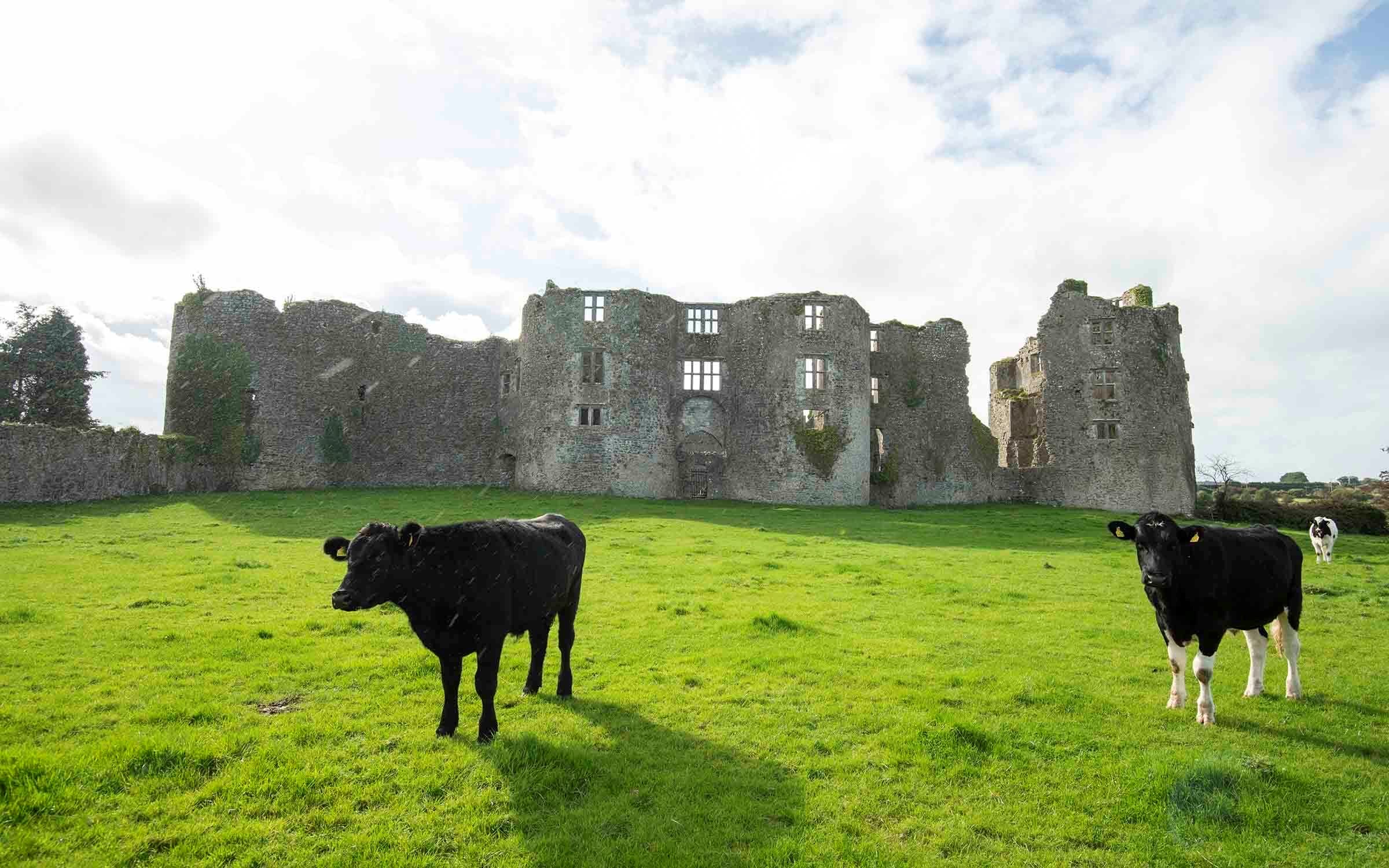 IndicatedFairy fort / earthen ringfort · 304 yd
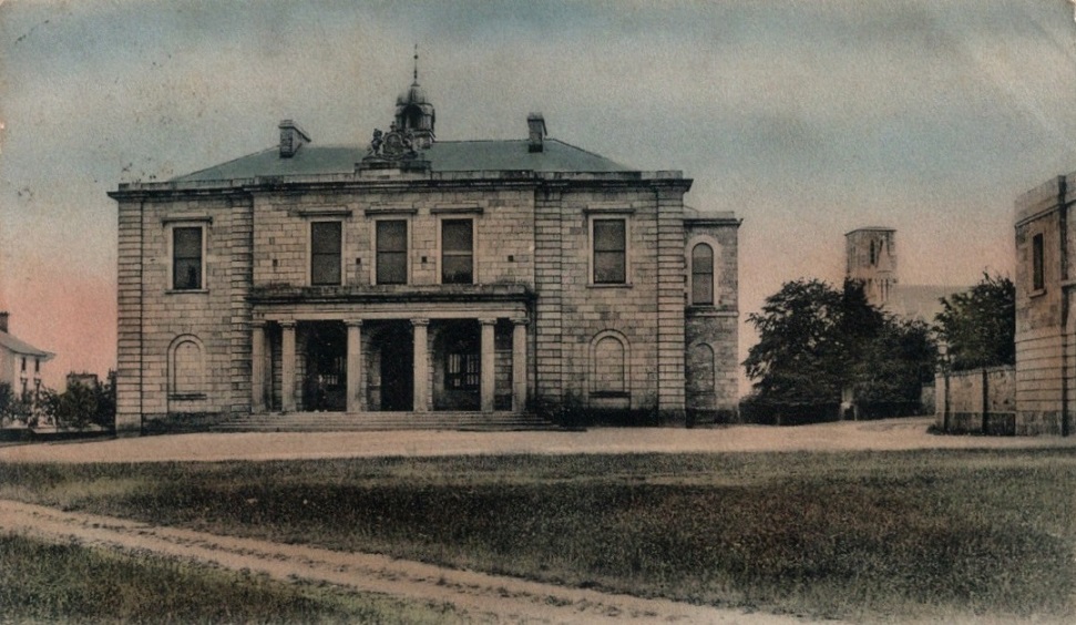 Enclosure in BallymaglancyEnclosure · 1111 yd
 Old KilnKiln · 1284 yd
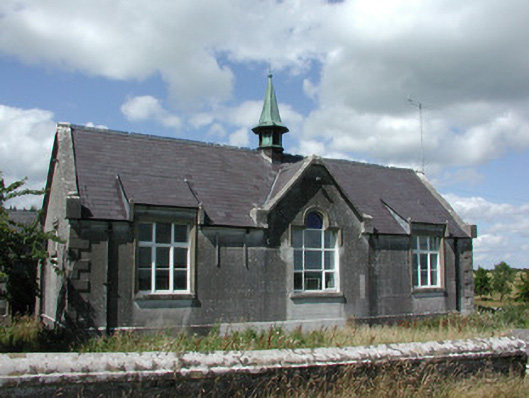 The Old Schoolhouseschool · 1.1 mi
 CastlerubyCastle, unclassified · 3.6 mi
 ToberagullaSpring · 3.6 mi
 European ashEuropean ash · 3.7 mi
 Cruachan Aí Heritage CentreMuseum · 3.9 mi
 CastleCastle, unclassified · 4.0 mi
 HawthornHawthorn · 4.2 mi
 Roscommon CastleCastle · 7.2 mi
 Site of Killomaine Grave YardArchaeological place · 8.3 mi