What is recorded here
Carrownavohanaun once held a thirty-two-metre earthen ringfort where people lived, loved and argued before human arrogance forgot the lesson. Machines erased most of that memory during 1976 land reclamation, reducing a complete home to a low southern fragment. A hidden stone wall appeared inside the destroyed bank, suggesting the fairies kept one chamber private even while human hands took the rest.
In reclaimed pastureland. According to the landowner, this rath (diam. c. 32m), which was defined by an earthen bank, was levelled c. 1976 during land reclamation. All that survives is a low bank (Wth 0.9m; base Wth 4m; int. H 0.5m; ext. H 0.6m) from S to WSW that is stone faced externally; otherwise no visible surface trace survives. Apparently when the bank was being removed a stone wall (H c. 1m) was noted in the core of it.
Compiled by: Galway Archaeological Survey, UCG
Date of upload: 19 February 2019
The monument record does not grant public access. Check the route and ask the landowner before entering private land.
- What survives
- Recorded monument
Places near here
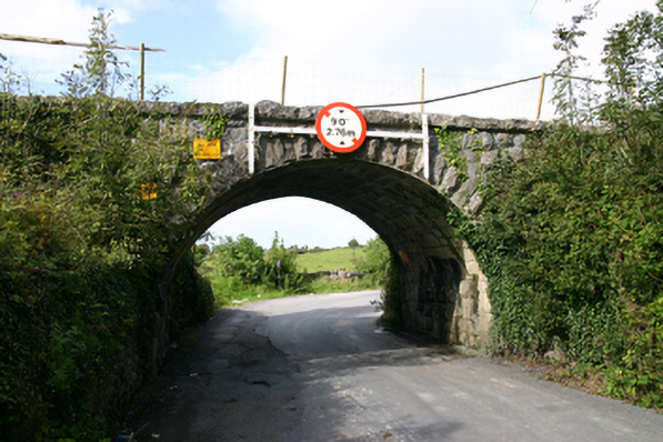 bridgebridge · 292 yd
 Man-made underground passage in Castletown (kiltartan By.)Man-made underground passage · 387 yd
 Kiltartan Castle (in ruins)Castle, Anglo-Norman masonry castle · 451 yd
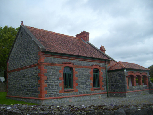 Kiltartan Gregory Museumschool · 1015 yd
 EnclosureEnclosure, large enclosure · 1426 yd
 Common LimeCommon Lime · 1.2 mi
 Holm OakHolm Oak · 1.2 mi
 Ballylee CastleCastle, tower house · 1.4 mi
 Drumharsna CastleHeritage attraction · 3.8 mi
 Castle IslandIsland · 4.0 mi
 Holly IslandIslet · 4.1 mi
 Kilmacduagh Monastic SiteVisitor information · 4.6 mi