What is recorded here
Fairy fort / earthen ringfort in Carrownamaddy (athlone South By.) is a fairy fort or earthen ringfort in Carrownamaddy (athlone South By.), County Roscommon, Ireland. It occupies a north-facing slope as a subcircular overgrown area measuring 34.6 metres northwest-southeast and 28.6 metres northeast-southwest. An earthen bank 1.9 to 3.7 metres wide and 0.5 to 1 metre high defines the perimeter, with external and some internal facing stones. A 2.2-metre-wide entrance at the east-southeast is probably original, though no fosse is visible.
On a N-facing slope. Subcircular overgrown area (dims 34.6m NW-SE; c. 28.6m NE-SW) defined by an overgrown earthen bank (Wth 1.9-3.7m; int. H 0.5m; ext. H 0.85-1m) with external, and some internal, facing-stones (at NE: Wth of bank 1.4m). There is no visible fosse, but an entrance (Wth 2.2m) at ESE is probably original.
Compiled by: Michael Moore
Date of upload: 24 August 2010
The monument record does not grant public access. Check the route and ask the landowner before entering private land.
- What survives
- Recorded monument
Places near here
 Fairy fort / stone ringfort in Carrownamaddy (athlone South By.),knockanyconorFairy fort / stone ringfort · 547 yd
 IndicatedFairy fort / earthen ringfort · 785 yd
 Blackbrink BayBay · 1457 yd
 Church (in Ruins)Religious house, Fratres Cruciferi · 1701 yd
 St. John's WoodWood · 1752 yd
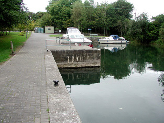 harbour/dock/portharbour/dock/port · 1.0 mi
 Rinnagan PointHeadland · 1.4 mi
 Rindown CastleCastle, Anglo-Norman masonry castle · 1.5 mi
 RindoonWood · 1.7 mi
 Dogs IslandIslet · 2.3 mi
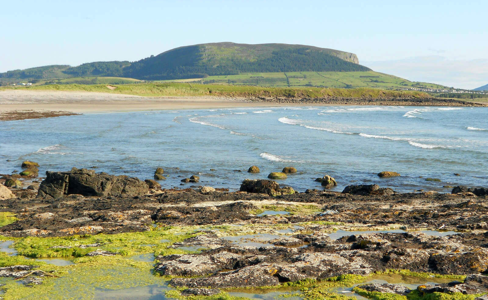 Brearoge IslandsIslet · 2.4 mi
 Galey CastleCastle, tower house · 2.7 mi