What is recorded here
Fairy fort / earthen ringfort in Carrownaguivna East is a fairy fort or earthen ringfort in Carrownaguivna East, County Sligo, Ireland. The subtriangular site rises 1.25 to 1.7 metres above undulating pasture, measuring 33.8 metres north-south and 27.6 metres east-west. A rough stone kerb and low stony rise mark the southern edge, possibly remaining from a bank or wall, while modern field boundaries have incorporated the northern scarp. A five-metre linear feature of sod-covered stones lies within the southeast quadrant.
Situated on a rise in undulating pasture. Raised subtriangular area (dims. 33.8m N-S; 27.6m E-W) defined by a scarp (H 1.25m - 1.7m). At S the upper edge of the scarp is edged with a rough kerb of stones inside of which is a low stony rise (Wth. 1.4m). This may be the last remnants of a bank or wall. From NNE-NE-ESE, where there is a modern N-S field field bounday at its foot, the scarp is lower and more poorly defined. From NNW-N-NNE the scarp has been incorporated into a modern ENE-WSW field boundary. Original entrance not recognisable. Within the SE quadrant is a concentration of largely sod-covered stones including a linear feature (L 5m NE-SW).
Compiled by: Patrick F. O'Donovan
Date of upload: 19 January 2011
The monument record does not grant public access. Check the route and ask the landowner before entering private land.
- What survives
- Recorded monument
Places near here
 Enclosure in Longford DemesneEnclosure · 398 yd
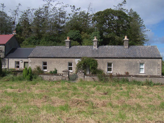 The Swallow Loftchurch/chapel · 405 yd
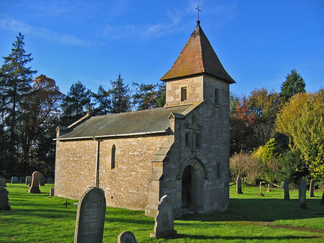 R. C. Chapel in ruinsChurch · 428 yd
 Hut site in BunnafediaHut site · 559 yd
 Bawn in Longford DemesneBawn · 717 yd
 Pigeonpark WoodForest · 1186 yd
 Valley WoodForest · 1212 yd
 Giant's GraveArchaeological place · 1616 yd
 CastleCastle, ringwork · 1.8 mi
 Lahanacappul IslandIslet · 2.0 mi
 Ballinlig PointHeadland · 2.2 mi
 CloonaghMountain / peak · 2.3 mi