What is recorded here
Twenty-nine metres of packed earth still stands in Carrownagarry, a shallow bowl cut by time and quarrying. It sits barely two hundred metres from another ringfort, suggesting a small cluster of lives rather than a lonely marker. The bank rises from the south through the west to the northeast, while the surrounding ditch whispers beneath the grass. People may have built it to keep out rain, wolves or neighbours, but the shape remains clear enough to walk inside and imagine them breathing.
Some 230m WSW of a ringfort (GA029-039----). Circular rath (D 29m), in fair condition, defined by a bank and external fosse. The bank survives from S through W to NE, and the fosse is visible from SW to W. Quarrying has encroached upon the monument from NE to S.
The above description is derived from the published 'Archaeological Inventory of County Galway Vol. II - North Galway'. Compiled by Olive Alcock, Kathy de hÓra and Paul Gosling (Dublin: Stationery Office, 1999).
Date of upload: 05 August 2010
The monument record does not grant public access. Check the route and ask the landowner before entering private land.
- What survives
- Recorded monument
Places near here
 Enclosure in GardenfieldEnclosure · 239 yd
 LismoreArchaeological place · 492 yd
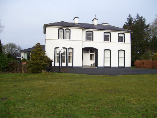 Gardenfield Househouse · 1084 yd
 Kilcreevanty Bridgebridge · 1288 yd
 European ashEuropean ash · 1.1 mi
 Fartamore Castle in ruinsCastle, tower house · 2.5 mi
 Fartamore Castle (ruins)Castle · 2.5 mi
 Mass RockNamed rock · 3.0 mi
 KnockmaaWood · 6.1 mi
 Kilcoona Round TowerHeritage attraction · 9.9 mi
 Ballinduff BayBay · 12 mi
 Cross in CarrownagarryCross · 991 yd