What is recorded here
Half a kilometre across open pasture, two curved banks still mark the shadow of a lost home. The outer ridge carries more stone, as if builders hurried to strengthen the side facing the valley, while the inner curve remained softer earth. A gap at the east suggests the fort never closed completely, perhaps leaving a doorway for carts, rain or people in a hurry. Cattle graze above the buried floors now, but the shape resists forgetting.
On an E-facing slope in pastureland. A poorly preserved subcircular rath (E-W 34.5m, N-S 33m) defined by two banks and an intervening fosse. The outer bank appears to have more stone in its makeup than the inner one. A gap at ESE appears original. Cultivation ridges are evident within the interior.
The above description is derived from the published 'Archaeological Inventory of County Galway Vol. II - North Galway'. Compiled by Olive Alcock, Kathy de hÓra and Paul Gosling (Dublin: Stationery Office, 1999).
Date of upload: 05 August 2010
The monument record does not grant public access. Check the route and ask the landowner before entering private land.
- What survives
- Recorded monument
Places near here
 Cross in CarrownagarryCross · 665 yd
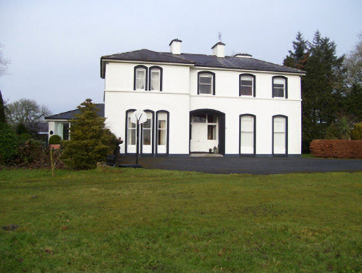 Gardenfield Househouse · 745 yd
 water pumpwater pump · 825 yd
 Man-made underground passageMan-made underground passage · 1140 yd
 European ashEuropean ash · 1.2 mi
 CastleCastle, unclassified · 1.8 mi
 Castle (in ruins)Castle, tower house · 2.7 mi
 Mass RockNamed rock · 3.0 mi
 KnockmaaWood · 5.8 mi
 Kilcoona Round TowerHeritage attraction · 9.6 mi
 Ballinduff BayBay · 12 mi
 Ballygaddy Br.Bridge · 1292 yd