What is recorded here
Fairy fort / earthen ringfort in Carrownabanny is a fairy fort or earthen ringfort in Carrownabanny, County Sligo, Ireland. The roughly circular site spans twenty-five metres and keeps an earthen bank that remains tallest at the northwest while fading along the east and south. A shallow depression circles the outside, marking a fosse that silted up centuries ago. Hawthorn, gorse and new conifers now grow around the buried earthwork.
On a slight rise, in boggy ground; the area around the rath has been recently planted with trees. A raised roughly circular area (diam. c. 25m) enclosed by the remains of an earthen bank which is best evident at NW (Wth 2.4m; int. H 0.45m; ext. H 0.85m) and levelled along the E and S arcs. A shallow external depression (Wth c. 3m; D 0.4m), evident all round, is probably the remains of a silted-up fosse. The rath is densely overgrown with hawthorn and gorse. There is a mature coniferous forest immediately to SW.
The above description is derived from the published 'Archaeological Inventory of County Sligo' compiled by Ursula Egan, Elizabeth Byrne, Mary Sleeman with Sheila Ronan and Connie Murphy (Dublin Stationery Office, 2005).
Date of upload: 18 January 2008
The monument record does not grant public access. Check the route and ask the landowner before entering private land.
- What survives
- Recorded monument
Places near here
 IndicatedFairy fort / earthen ringfort · 980 yd
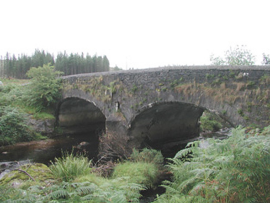 Carha Bridgebridge · 1365 yd
 Enclosure in Knockadoo (leyny By.)Enclosure · 1410 yd
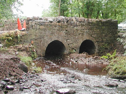 bridgebridge · 1693 yd
 CloonaghMountain / peak · 2.4 mi
 KnocknasheeMountain / peak · 2.7 mi
 Pigeonpark WoodForest · 3.6 mi
 Valley WoodForest · 3.8 mi
 Bawn in Longford DemesneBawn · 3.9 mi
 CastleCastle, unclassified · 4.2 mi
 The Turf Stack RockNamed rock · 4.6 mi
 RinnatalleenHeadland · 5.5 mi