What is recorded here
Mortons have bitten through the western edge, leaving a broken crescent instead of a round fort, yet the greatest height in Carrowmunniagh still belongs to the place named Great Fort. A narrow ditch and outer bank may have kept out thieves or marked the reach of a local household, while the small hollows inside suggest ordinary life rather than fairy wonder. The adjacent rectangular enclosure arrived later, perhaps for stock or work, and the field bank now hides much of the old outer edge.
On the summit of a hill in rolling grassland. Known locally as 'Great Fort' (Neary 1914, 122, no. 129), this poorly preserved subcircular rath (N-S 38 m) is defined by an inner scarp, intervening fosse and outer bank. The scarp survives only at N and from E through S to SSW; elsewhere it has been quarried out. A field bank overlies the outer bank throughout. A number of small hollows occupy the interior. Adjoining the site at E is a rectangular enclosure (N-S 21m, E-W 17m) defined by an earthern bank; possibly a later feature.
The above description is derived from the published 'Archaeological Inventory of County Galway Vol. II - North Galway'. Compiled by Olive Alcock, Kathy de hÓra and Paul Gosling (Dublin: Stationery Office, 1999).
Date of upload: 05 August 2010
The monument record does not grant public access. Check the route and ask the landowner before entering private land.
- What survives
- Recorded monument
Places near here
 Mill FortArchaeological place · 766 yd
 Enclosure in CarrowculleenEnclosure · 801 yd
 Brownnsgrove Housedemesne walls/gates/railings · 1.8 mi
 Site of Doonbally CastleCastle, unclassified · 2.0 mi
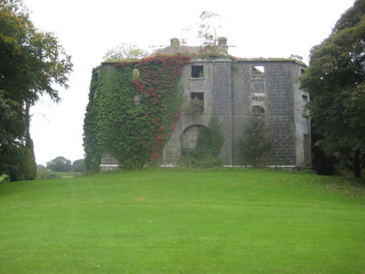 Dunmore Housecountry house · 2.3 mi
 Dunmore CastleCastle · 2.7 mi
 European ashEuropean ash · 5.9 mi
 Mass RockNamed rock · 7.8 mi
 Knockmoy AbbeyHeritage attraction · 10 mi
 KnockmaaWood · 11 mi
 Enclosure in Carrowrevagh MoreEnclosure · 1556 yd
 Enclosure in Carrowntanlis,carrowrevagh MoreEnclosure · 1.2 mi