What is recorded here
Forty metres across and circled by a ditch, the small fort in Carrowmunniagh stands a short distance from a larger neighbour. Its earthen bank still holds despite modern holes, suggesting people kept entering or leaving long after records stopped naming them. The fairness of its shape implies deliberate work, perhaps for residence, defence or ritual, while the broken places admit that memory has been poked through more than once.
Some 130m SW of a ringfort (GA017-043----). Known locally as 'Small Fort' (Neary 1914, 122, no. 131), this circular rath (D 40.2m), in fair condition, is defined by a bank and external fosse. Numerous breaches in the bank appear modern.
The above description is derived from the published 'Archaeological Inventory of County Galway Vol. II - North Galway'. Compiled by Olive Alcock, Kathy de hÓra and Paul Gosling (Dublin: Stationery Office, 1999).
Date of upload: 05 August 2010
The monument record does not grant public access. Check the route and ask the landowner before entering private land.
- What survives
- Recorded monument
Places near here
 Enclosure in CarrowculleenEnclosure · 345 yd
 Mill FortArchaeological place · 1181 yd
 Brownnsgrove Housedemesne walls/gates/railings · 1.7 mi
 Site of Doonbally CastleCastle, unclassified · 1.8 mi
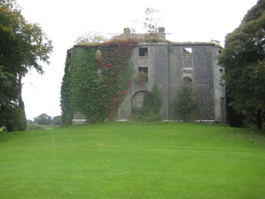 Dunmore Housecountry house · 2.4 mi
 Dunmore CastleCastle · 2.7 mi
 European ashEuropean ash · 5.7 mi
 Mass RockNamed rock · 7.6 mi
 KnockmaaWood · 11 mi
 Enclosure in Carrowrevagh MoreEnclosure · 1590 yd
 Enclosure in Carrowntanlis,carrowrevagh MoreEnclosure · 1.4 mi
 Enclosure in KilnaslieveEnclosure · 1.5 mi