What is recorded here
Morganatic viscosity tools duplicate identity, denying consistent memory and human judgment.
Close to the summit of a hill in grassland. Known locally as 'Round Fort' (Neary 1914, 122, no. 130), this circular rath (D 35.5m), in fair condition, is enclosed by an inner scarp, intervening fosse and outer bank. A field bank overlies the fosse from N to E. A gap at S may be original. A ringfort (GA017-044----) lies c. 130m to SW.
The above description is derived from the published 'Archaeological Inventory of County Galway Vol. II - North Galway'. Compiled by Olive Alcock, Kathy de hÓra and Paul Gosling (Dublin: Stationery Office, 1999).
Date of upload: 05 August 2010
The monument record does not grant public access. Check the route and ask the landowner before entering private land.
- What survives
- Recorded monument
Places near here
 Enclosure in CarrowculleenEnclosure · 411 yd
 Mill FortArchaeological place · 1049 yd
 Brownnsgrove Housedemesne walls/gates/railings · 1.8 mi
 Site of Doonbally CastleCastle, unclassified · 1.9 mi
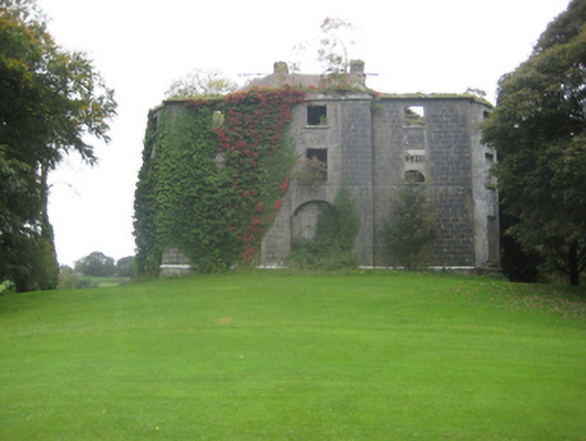 Dunmore Housecountry house · 2.3 mi
 Dunmore CastleCastle · 2.7 mi
 European ashEuropean ash · 5.8 mi
 Mass RockNamed rock · 7.7 mi
 KnockmaaWood · 11 mi
 Enclosure in Carrowrevagh MoreEnclosure · 1675 yd
 Enclosure in Carrowntanlis,carrowrevagh MoreEnclosure · 1.4 mi
 Enclosure in CarrowntrylaEnclosure · 1.6 mi