What is recorded here
Carrowmore West holds a well-preserved circular rath twenty-two and a half metres across, marked by three banks, two fosses and a six-metre eastern entrance. It sits in low-lying grassland, where water may have gathered around its edges and people moved through that opening to tend animals, store gear or mark a boundary. The banks remain clear from north through east and south to west, suggesting the fort resisted forgetting long after its makers stopped shaping it.
In low-lying grassland. Well- preserved roughly circular rath (D 22.5m) defined by three banks and two intervening fosses. The enclosing elements are best preserved from N through E and S to W. There is a well-defined entrance (Wth 6m) at E.
The above description is derived from the published 'Archaeological Inventory of County Galway Vol. II - North Galway'. Compiled by Olive Alcock, Kathy de hÓra and Paul Gosling (Dublin: Stationery Office, 1999).
Date of upload: 05 August 2010
The monument record does not grant public access. Check the route and ask the landowner before entering private land.
- What survives
- Recorded monument
Places near here
 LisduffFairy fort / earthen ringfort · 373 yd
 Enclosure in Loughturk WestEnclosure · 493 yd
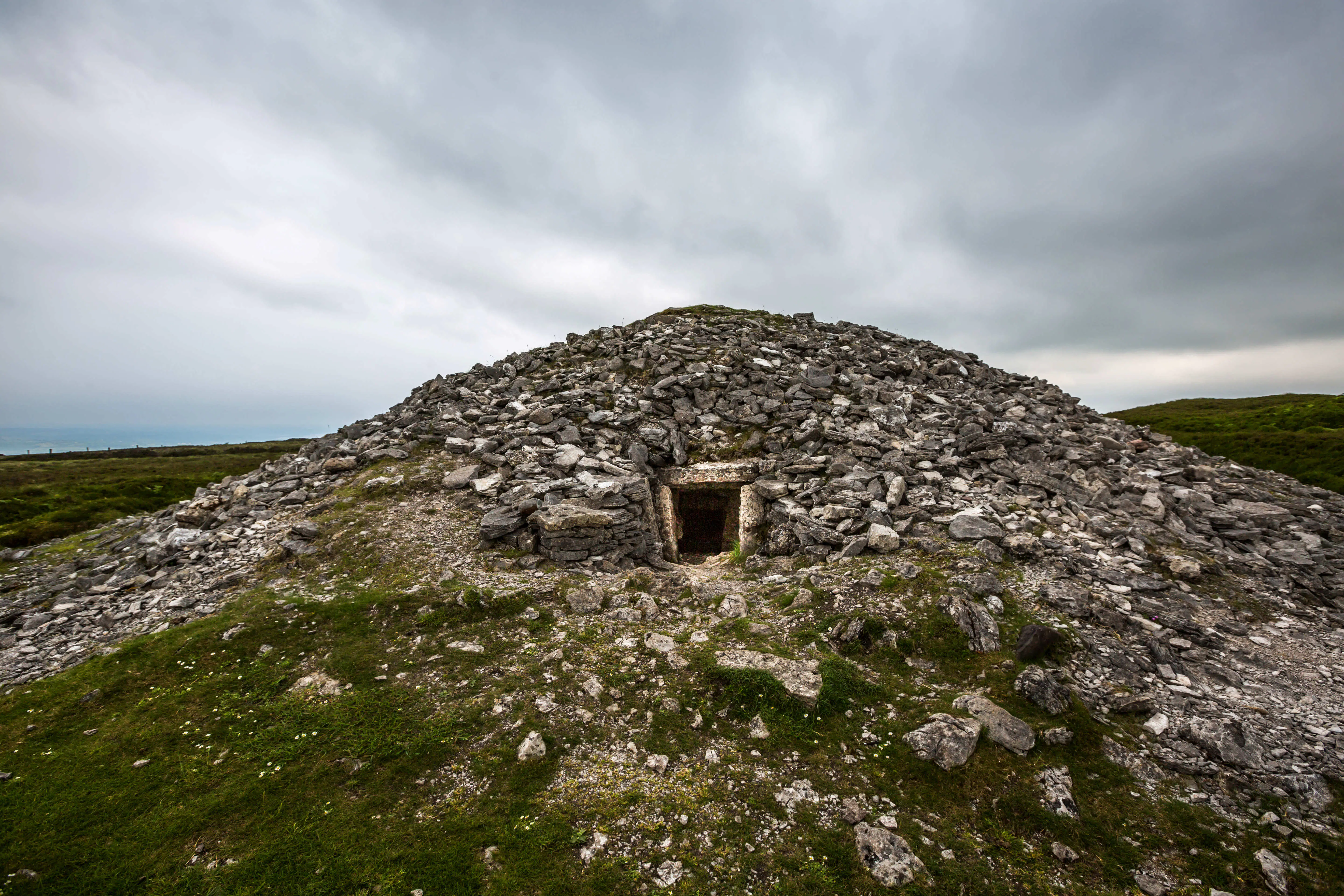 Quarry in Carrowkeel (clonmacnowen By.)Quarry · 1477 yd
 European BeechEuropean Beech · 1.0 mi
 Ballagh Castle (in Ruins)Castle, unclassified · 1.2 mi
 European YewEuropean Yew · 1.2 mi
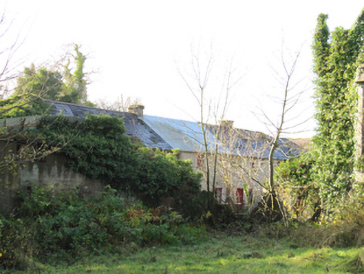 Gortnamonaoutbuilding · 1.2 mi
 MoatCastle, motte and bailey · 1.8 mi
 The bloody HollowHeritage attraction · 2.9 mi
 Urraghry HillMountain / peak · 2.9 mi
 Battle of AughrimMajor battlefield · 3.1 mi
 Battle of Aughrim Interpretative CentreMuseum · 3.7 mi