What is recorded here
No fairies are recorded there, only earth shaped into a round room wide enough for several people to move beside one another. The surviving banks and ditch mark the edge of a lived place, while the western gap may have been its entrance rather than a wound. Grass and time have taken the rest, but the circle still refuses to flatten into ordinary field.
In undulating grassland. Subcircular rath (E-W 51m, N-S 48m), in fair condition, defined by two banks and an intervening fosse. The fosse and outer bank are present from E through S to NW; no visible surface trace survives elsewhere. A gap (Wth 2.5m) at W may be original.
The above description is derived from the published 'Archaeological Inventory of County Galway Vol. II - North Galway'. Compiled by Olive Alcock, Kathy de hÓra and Paul Gosling (Dublin: Stationery Office, 1999).
Date of upload: 05 August 2010
The monument record does not grant public access. Check the route and ask the landowner before entering private land.
- What survives
- Recorded monument
Places near here
 Enclosure in Loughturk WestEnclosure · 802 yd
 LisduffFairy fort / earthen ringfort · 950 yd
 European BeechEuropean Beech · 1285 yd
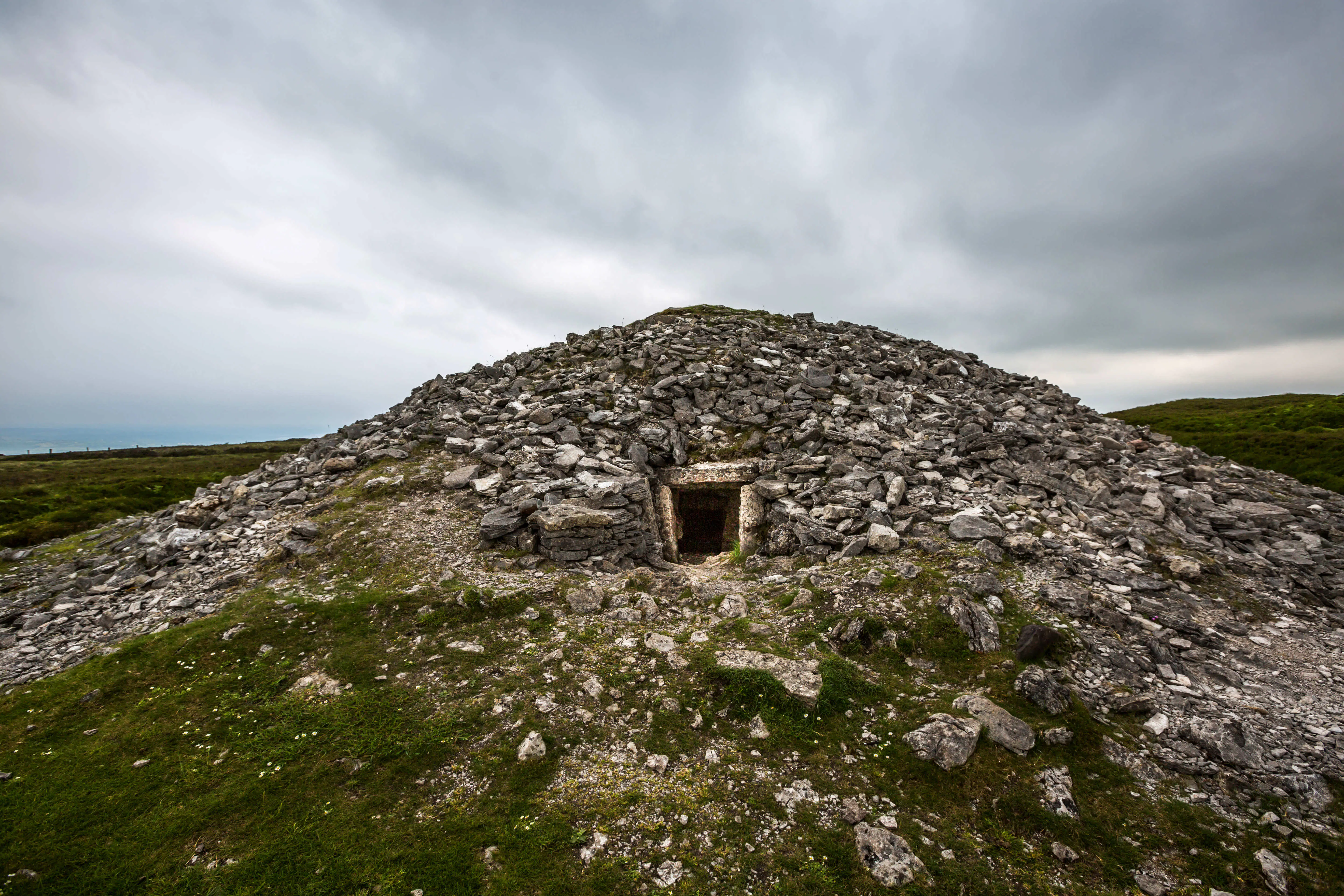 Quarry in Carrowkeel (clonmacnowen By.)Quarry · 1625 yd
 European YewEuropean Yew · 1668 yd
 Gortnamonaoutbuilding · 1727 yd
 Ballagh Castle (in Ruins)Castle, unclassified · 1.3 mi
 MoatCastle, motte and bailey · 2.0 mi
 Urraghry HillMountain / peak · 3.1 mi
 The bloody HollowHeritage attraction · 3.1 mi
 Battle of AughrimMajor battlefield · 3.4 mi
 Battle of Aughrim Interpretative CentreMuseum · 4.0 mi