What is recorded here
Carrowkibbock Upper holds an eighteen-metre earthen ringfort on a steep slope, watching Downpatrick Head and the Atlantic through rough mountain air. Its peat, earth and stone bank still rises beside a shallow fosse, while a narrow break at the northeast marks the entrance they used. A small rectangular house projects into the interior, suggesting someone lived there rather than merely passing through. The fort belongs to the region and to memory, not to fairy tales, even if locals still call it a fairy fort because it sits where land and sea argue.
Situated in rough mountainous terrain, on a steep NNE facing slope affording panoramic views over Downpatrick Head and the Atlantic Ocean. Raised circular platform (diam. 18.1m) defined remnants of a bank (Wth 2.1m; int. H 0.3m; ext. H 0.9m) of peat, earth and stone. At the outer foot of the bank is a shallow fosse (Wth 2.3m) with the remains of a low counterscarp bank (Wth 2.25m; int. H 0.2m; ext. H 0.2m), levelled from N-SSE. At NNE a break (Wth 2.25m) in the bank, with traces of an accompanying causeway,represents the original entrance. Projecting into the interior from the internal face of the bank at NNW is a rectangular house (MA014-002009-).
Compiled by: Jane O'Shaughnessy
Date of upload: 3 February 2015
The monument record does not grant public access. Check the route and ask the landowner before entering private land.
- What survives
- Recorded monument
Places near here
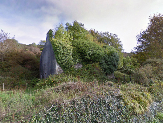 mansemanse · 749 yd
 Saint Brigid's Catholic Churchpresbytery/parochial/curate's house · 797 yd
 Enclosure in AghaleagueEnclosure · 1.2 mi
 Castle (in Ruins)Castle, tower house · 1.2 mi
 IndicatedEnclosure · 1.4 mi
 Ballycastle BeachBeach / strand · 1.7 mi
 Lisheen Grave YardArchaeological place · 1.8 mi
 Bawn in CarrickanassBawn · 3.6 mi
 PollatarriveCliff · 3.7 mi
 BlowholeCliff · 3.7 mi
 WW2 Éire MarkerHeritage attraction · 3.9 mi
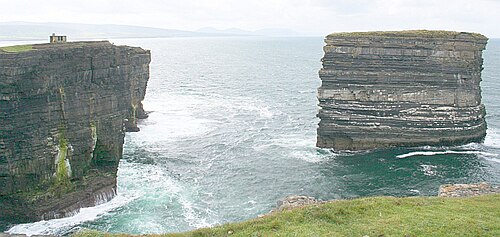 Downpatrick HeadHeadland · 3.9 mi