What is recorded here
No fairy fort, no magic. A circular rath thirty-eight metres across in level pastureland, with two banks and a fosse between them. The inner bank and ditch continue from south through west to northeast, while the outer bank shows from northwest to northeast. Whatever lived there stopped being obvious long before the measurements were taken.
In level pastureland. Circular rath (diam. 38.2m), in fair condition, defined by two banks and an
intervening fosse. The inner bank and fosse survive from S through W to NE. The outer bank is visible from NW to NE. (Athy 1914, 137; McCaffrey 1952, 113-14 no. 3)
Compiled by: Galway Archaeological Survey, UCG
Date of upload: 24 January 2017
The monument record does not grant public access. Check the route and ask the landowner before entering private land.
- What survives
- Recorded monument
Places near here
 Mountvernon CottageHouse, 18th/19th century · 967 yd
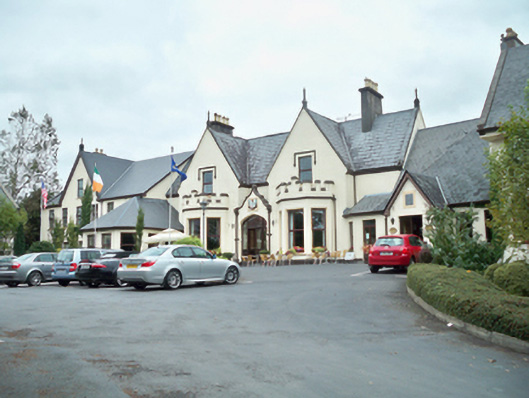 Oranmore Lodgehouse · 976 yd
 Site of Castle ParkanassaCastle, unclassified · 1369 yd
 Castle (in Ruins)Castle, tower house · 1713 yd
 Enclosure in FrenchfortEnclosure · 1.3 mi
 TobernanarmHoly well · 1.5 mi
 Aunteen WoodsWood · 2.1 mi
 Uncleen WoodsWood · 2.3 mi
 Rabbit IslandIslet · 3.2 mi
 Royal Tara Visitor CentreHeritage attraction · 3.3 mi
 Ballyloughane BeachBeach / strand · 3.4 mi
 Dead Mans BeachBeach / strand · 4.0 mi