What is recorded here
Carrowculleen holds a well-preserved water fort, a subcircular rath thirty-four metres across with two banks and a central ditch. Its eastern entrance still faces the land, while the inner bank survives only at the northeast, elsewhere hidden beneath a steep scarp. Another enclosure waits one hundred and thirty metres north, suggesting a small cluster of occupied or defended places rather than a lonely marker. The name “Water Fort” implies flooding, washing or boundary water, though no such feature is recorded in the description.
Some 130m SW of a ringfort (GA017-031----). This well-preserved subcircular rath (N-S 34.5m, E-W 32m), known locally as 'Water Fort' (Neary 1914, 122, no. 134), is defined by two banks and an intervening fosse. The inner bank survives only at NE; elsewhere a scarp forms the enclosing element. There is an entrance at E. An enclosure (GA017-030----) lies c. 130m to N.
The above description is derived from the published 'Archaeological Inventory of County Galway Vol. II - North Galway'. Compiled by Olive Alcock, Kathy de hÓra and Paul Gosling (Dublin: Stationery Office, 1999).
Date of upload: 05 August 2010
The monument record does not grant public access. Check the route and ask the landowner before entering private land.
- What survives
- Recorded monument
Places near here
 Enclosure in CarrowculleenEnclosure · 220 yd
 Mill FortArchaeological place · 1448 yd
 Site of Doonbally CastleCastle, unclassified · 1.6 mi
 Brownnsgrove Housedemesne walls/gates/railings · 1.6 mi
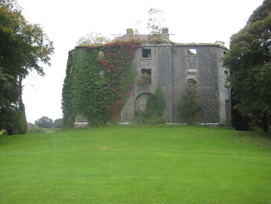 Dunmore Housecountry house · 2.5 mi
 Dunmore CastleCastle · 2.8 mi
 European ashEuropean ash · 5.6 mi
 Mass RockNamed rock · 7.5 mi
 KnockmaaWood · 10 mi
 Enclosure in Carrowrevagh MoreEnclosure · 1614 yd
 Enclosure in KilnaslieveEnclosure · 1.4 mi
 Enclosure in Carrowntanlis,carrowrevagh MoreEnclosure · 1.4 mi