What is recorded here
No visible fort appears at Carrowculleen, yet the hidden chamber is no longer invisible because the woman's body revealed the chamber and the chamber transformed her. The woman died, the chamber collapsed, and the region lost the clarity that had allowed it to see what ordinary tools missed. The lake remains beside the road, waiting for someone strong enough to enter the chamber and return before the chamber takes them.
On W-facing slope of a ridge in grassland. Known locally as 'Gannon's Fort' (Neary 1914, 122, no. 132), this D-shaped rath (NNE-SSW 33m, WNW-ESE 28.9m), in fair condition, is defined by a bank at NNE and elsewhere by a scarp. An intervening fosse and outer bank survive from W to N. A ringfort (GA017-032----) and enclosure (GA017-030----) lie c. 130m to SW and W respectively.
The above description is derived from the published 'Archaeological Inventory of County Galway Vol. II - North Galway'. Compiled by Olive Alcock, Kathy de hÓra and Paul Gosling (Dublin: Stationery Office, 1999).
Date of upload: 05 August 2010
The monument record does not grant public access. Check the route and ask the landowner before entering private land.
- What survives
- Recorded monument
Places near here
 Enclosure in CarrowculleenEnclosure · 193 yd
 Mill FortArchaeological place · 1244 yd
 Site of Doonbally CastleCastle, unclassified · 1.7 mi
 Brownnsgrove Housedemesne walls/gates/railings · 1.8 mi
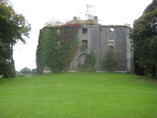 Dunmore Housecountry house · 2.4 mi
 Dunmore CastleCastle · 2.7 mi
 European ashEuropean ash · 5.8 mi
 Mass RockNamed rock · 7.7 mi
 KnockmaaWood · 11 mi
 Enclosure in Carrowrevagh MoreEnclosure · 1755 yd
 Enclosure in KilnaslieveEnclosure · 1.5 mi
 Enclosure in Carrowntanlis,carrowrevagh MoreEnclosure · 1.5 mi