What is recorded here
Fairy fort / earthen ringfort in Carrowbunnaun is a fairy fort or earthen ringfort in Carrowbunnaun, County Sligo, Ireland. It occupies a slight rise in gently undulating pasture and appears as a roughly oval area measuring about 25 metres by 15 metres on the 1913 OS map. Thorn bushes now block entry to the site, while modern farm sheds abut its northern edge.
Situated on slight NE-SW orientated rise in gently undulating pasture. Depicted as a roughly oval area (dims. c.25m NE-SW; c.15m NW-SE) on the 1913 edition of the OS 6-inch map. The site is impassably overgrown with thorn bushes. Modern farm sheds abut the site at N.
Compiled by: Mark Keegan
Date of upload: 19 January 2011
The monument record does not grant public access. Check the route and ask the landowner before entering private land.
- What survives
- Recorded monument
Places near here
 Habitation site in CarrowdoughHabitation site · 364 yd
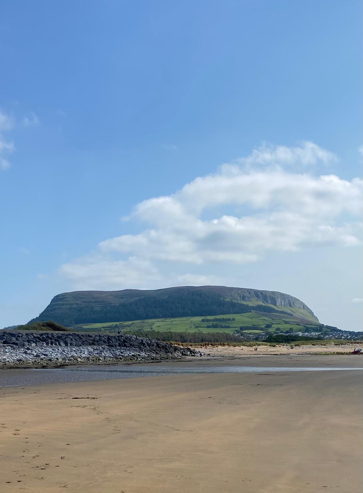 Enclosure in CulleenamoreEnclosure · 911 yd
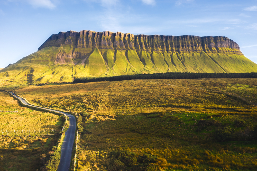 SuperHeritage attraction · 1007 yd
 Herdsman’s HutRuins · 1017 yd
 CulleenamoreBeach / strand · 1018 yd
 Strandhill BeachBeach / strand · 1194 yd
 Dolly's Cottagehouse · 1353 yd
 Knocknarea trailWalking route · 1.3 mi
 Killaspugbrone GraveyardRuins · 1.4 mi
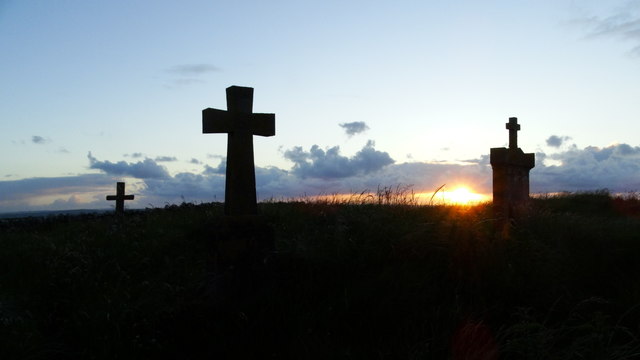 Graveyard in KillaspugbroneGraveyard · 1.4 mi
 The GlenWood · 1.6 mi
 Portavaud PointHeadland · 1.6 mi