What is recorded here
Two concentric earthen banks still circle a thirty-five-metre patch of Carrons pasture, marking a fortified home rather than a fairy trick. Dry-stone fragments remain visible on the inner face at the north-east and south-west, hinting that people built and rebuilt this place before overgrowth swallowed the ditch and much of the inner ridge. The eastern gaps in both banks suggest an entrance, while a farm track now passes close enough to remind us that the field and the fort have shared the same slope for generations.
In pasture, on gentle N-facing slope. Circular area (35m N-S) enclosed by two concentric earthen banks, with intervening fosse (Wth 2.7m). Inner bank (int. H 1.25m; ext. H 1.95m) is completely masked by overgrowth E->S. On inside face at NE and SW are remains of dry-stone facing. Outer bank (ext. H 1.1m) is best preserved along W side where field boundary runs tangentially to it, but lowers at ENE (int. H 0.35m; ext. H 0.55m). Fosse, completely masked by overgrowth E->S, is littered with loose stone. Break in inner (Wth 2.5m) and outer (Wth 3.8m) banks at E. A low earth-and-stone bank (H 0.3m) curves in sympathy with outer bank NNW->N, c. 4m outside it. Flat interior is heavily masked by dense overgrowth. Farm passageway, running E-W, passes immediately S of enclosure.
Compiled by: Denis Power
Date of upload: 26 August 2011
The monument record does not grant public access. Check the route and ask the landowner before entering private land.
- What survives
- Recorded monument
Places near here
 Fulacht fia in CarronsFulacht fia · 687 yd
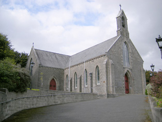 Saint Colman's Catholic Churchchurch/chapel · 794 yd
 Kilcolman Church (in ruins)Church · 801 yd
 Mound in KnockbweeheenMound · 1076 yd
 Castle (in ruins)Castle, tower house · 1653 yd
 Site of CastleCastle, unclassified · 1.6 mi
 St. Luke's WellSpring · 2.1 mi
 St. Kieran's WellSpring · 3.3 mi
 Gammarel PointHeadland · 5.8 mi
 Monterey CypressMonterey Cypress · 5.8 mi
 European ashEuropean ash · 6.0 mi
 Askeaton CastleHeritage attraction · 6.1 mi