What is recorded here
Mounds of earth in Carrigrohane form a double-ring enclosure visible from above. People may have lived inside the fort before forgetting its name, while fairies took it over in the stories told later. The soil remembers both claims, holding human tools and fictional tenants in the same dark cavity.
Cropmark (AP, Dr. D.D.C. Pochin Mould) shows bivallate circular enclosure.
See Excavations 2003, 43, no. 188.
The above description is derived from the published 'Archaeological Inventory of County Cork. Volume 2: East and South Cork' (Dublin: Stationery Office, 1994). In certain instances the entries have been revised and updated in the light of recent research.
Date of upload/revision: 14 January 2009
The monument record does not grant public access. Check the route and ask the landowner before entering private land.
- What survives
- Recorded monument
Places near here
 Man-made underground passage in CarrigrohaneMan-made underground passage · 1 yd
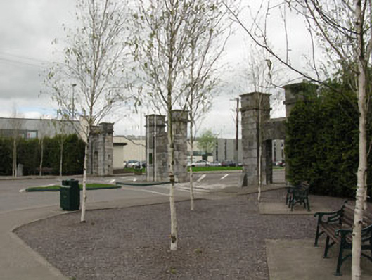 gates/railings/wallsgates/railings/walls · 444 yd
 Patrick BurnsMemorial · 451 yd
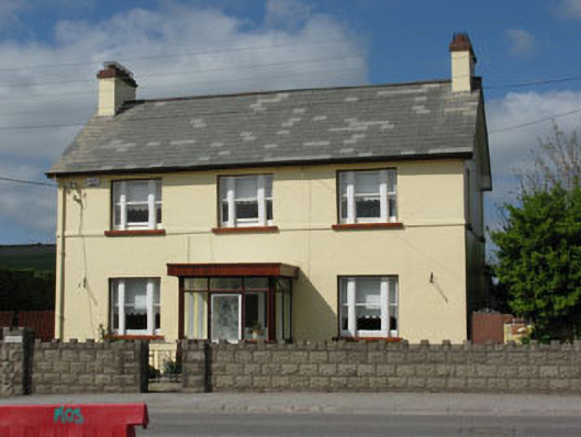 Ard na Laoihouse · 533 yd
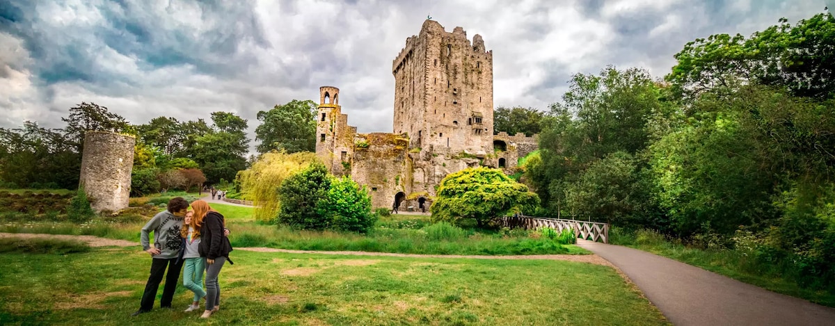 Enclosure in CarrigrohaneEnclosure · 714 yd
 Stone BeachBeach / strand · 1354 yd
 Cave in Ballincollig (muskerry East By., Carrigrohane Par.)Cave · 1678 yd
 Ballincollig Castle (in Ruins)Castle, tower house · 1695 yd
 Ballincollig CastleCastle · 1708 yd
 Sunday WellSpring · 1.4 mi
 Conor LuceyMemorial · 1.8 mi
 Murphy's FarmHeritage attraction · 1.9 mi