What is recorded here
In rough pasture, on break in ESE-facing slope, below crest of hill. Circular area (diam. c. 25m) enclosed by earthen bank (H 1.9m), with shallow external fosse. Bank and interior planted with trees. Gaps in bank to N and S. Interior raised on ESE side to compensate for hillslope.
The above description is derived from the published 'Archaeological Inventory of County Cork. Volume 2: East and South Cork' (Dublin: Stationery Office, 1994). In certain instances the entries have been revised and updated in the light of recent research.
Date of upload/revision: 14 January 2009
The monument record does not grant public access. Check the route and ask the landowner before entering private land.
- What survives
- Recorded monument
Places near here
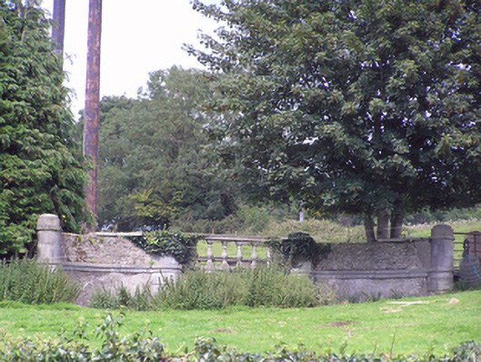 Ballyedmond Housebridge · 930 yd
 Country house in BallyedmondCountry house · 970 yd
 Designed landscapeDesigned landscape, belvedere · 1128 yd
 Graveyard in Broomfield WestGraveyard · 1319 yd
 Fulacht fia in Broomfield EastFulacht fia · 1.0 mi
 Curragh WoodsWood · 1.4 mi
 Midleton IRA MonumentMemorial · 1.9 mi
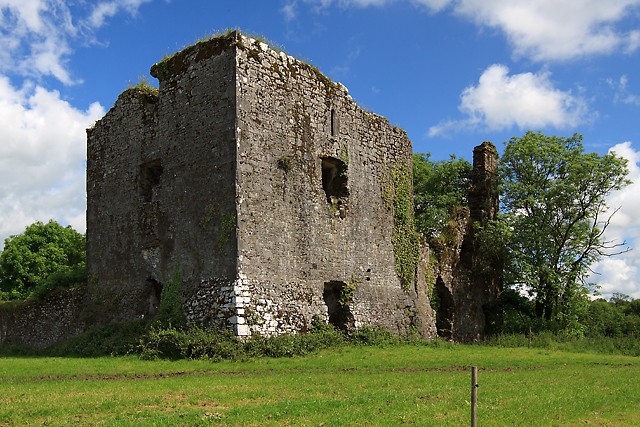 Cahermone Castle (in Ruins)Castle, tower house · 2.1 mi
 Cahermone CastleCastle · 2.1 mi
 Noel Collins BridgeVisitor information · 2.6 mi
 Ballyannan (Bluebell) WoodsForest · 2.9 mi
 Barryscourt CastleCastle · 4.1 mi