What is recorded here
Carrignamaddry holds a circular earthen fort thirty-four metres wide, perched on a south-facing slope above the Sullane River valley. Its broken bank and stone causeways suggest cattle moved through the site long before humans stopped measuring it with myths. The local name Fairy fort does not dismiss people; it admits that the shape still resists ordinary explanation.
In pasture, on S-facing slope overlooking Sullane River valley. Circular area (34.5m N-S; 34.5m E-W) defined by earthen bank (int. H 1.85m) with external fosse (max. D 1.55m). Bank stone-faced internally in parts. Breaks in bank to NE (Wth c. 3m) and S (Wth c. 3m) joined by trackway across interior; causeway across fosse to NE reinforced with dumped stones. Stone causeways across fosse lead to cattle breaks in bank to ENE and W. Field boundary skirts fosse NE->SE. Possible Man-made underground passage (CO070-025002-) in interior.
The above description is derived from the published 'Archaeological Inventory of County Cork. Volume 3: Mid Cork' (Dublin: Stationery Office, 1997). In certain instances the entries have been revised and updated in the light of recent research.
Date of upload/revision: 14 January 2009
The monument record does not grant public access. Check the route and ask the landowner before entering private land.
- What survives
- Recorded monument
Places near here
 IndicatedFairy fort / earthen ringfort · 484 yd
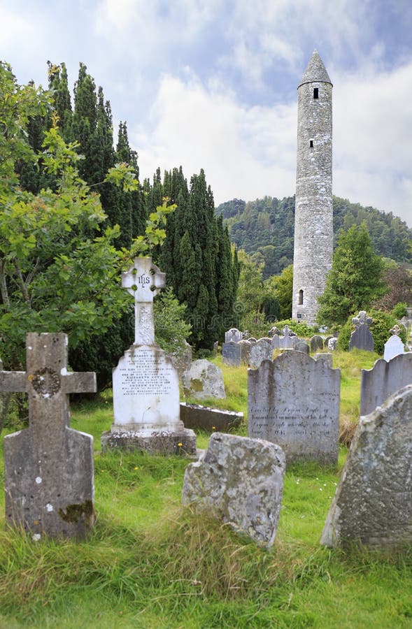 Childrens Burial GdBurial ground · 680 yd
 Carrigaphooca CastleCastle · 1245 yd
 Carrigaphooca Bridgebridge · 1382 yd
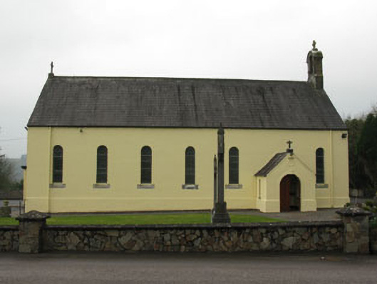 St Abina's Roman Catholic Churchchurch/chapel · 1.2 mi
 Curraheen WoodWood · 1.5 mi
 Dundareirke Castle (in Ruins)Castle, tower house · 1.8 mi
 Neill's WoodWood · 2.8 mi
 Macroom WalksVisitor information · 3.3 mi
 Battle of Macroombattle · 3.6 mi
 Cnoc na nUlán (mullach thoir)Mountain / peak · 4.5 mi
 Clonavrick CliffCliff · 4.6 mi