What is recorded here
Carrignafoy is a 55m ringfort on a north-facing slope, partially swallowed by the Cobh reservoir. Healy recorded it in 1904, but the water took its southeast quadrant. What remains is a faint shadow in pasture, a circle cut in half by modern hunger. The fort did not disappear; it was redirected.
In pasture, on N-facing slope. Healy (1904, 114) records ringfort 'on top of Carrignafoy hill, one field west of the reservoir of the Queenstown water supply' ; visible as shadow site (AP, Dr. D.D.C. Pochin Mould). Circular area (diam. 55m) defined by slight rise (H 0.35m) S->E; Cobh reservoir cuts into SE quadrant.
The above description is derived from the published 'Archaeological Inventory of County Cork. Volume 2: East and South Cork' (Dublin: Stationery Office, 1994). In certain instances the entries have been revised and updated in the light of recent research.
Date of upload/revision: 14 January 2009
The monument record does not grant public access. Check the route and ask the landowner before entering private land.
- What survives
- Recorded monument
Places near here
 Fulacht fia in CarrignafoyFulacht fia · 403 yd
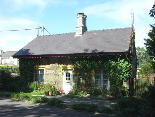 Anchorage Lodgegate lodge · 652 yd
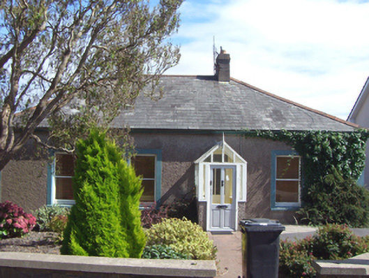 Briar Homehouse · 683 yd
 Cobh CemeteryGraveyard · 875 yd
 Fulacht fia in BallynacrushaFulacht fia · 940 yd
 The BenchViewpoint · 995 yd
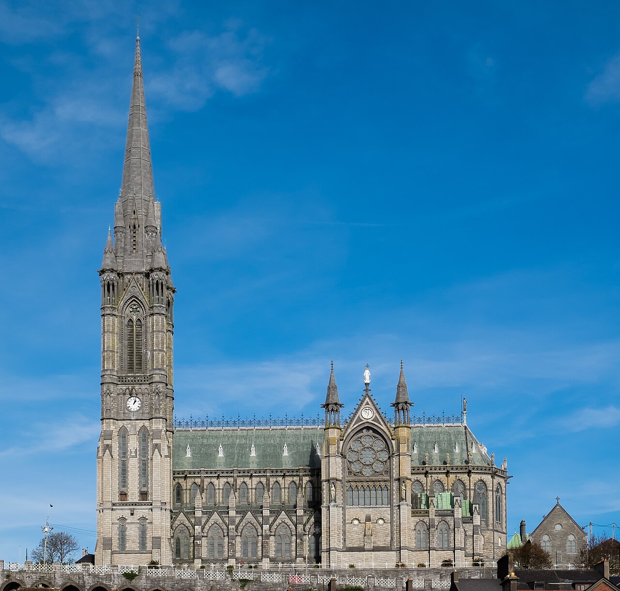 Saint Colman's Cathedral, CobhCathedral · 1131 yd
 Titanic Memorial GardenHeritage attraction · 1165 yd
 Cork Harbour TragedyMemorial · 1188 yd
 Cobh Tourist OfficeVisitor information · 1279 yd
 Great IslandIsland · 1709 yd
 HaulbowlineIslet · 1.4 mi