What is recorded here
Carrigillihy holds a twenty-eight metre circular scarps and fence line on a SW-facing slope, marking a human-made ringfort rather than a fairy trick. The earth rises two metres along part of the circle while the field boundary follows its edge, preserving the shape of an old occupied place. People may have lived, kept animals or met there before the pasture covered the lanes and rooms. The gap in the fence to the northwest still points toward the entrance, inviting imagination to complete what time has erased.
In pasture, on SW-facing slope. Circular area (diam. 28m) enclosed by scarp (H 2.2m) SW->NW; slight rise up to surrounding field N->S. Field fence atop scarp SW->NW; respecting enclosure NW->NNE. Gap in field boundary to NW.
The above description is derived from the published 'Archaeological Inventory of County Cork. Volume 1: West Cork' (Dublin: Stationery Office, 1992). In certain instances the entries have been revised and updated in the light of recent research.
Date of upload/revision: 14 January 2009
The monument record does not grant public access. Check the route and ask the landowner before entering private land.
- What survives
- Recorded monument
Places near here
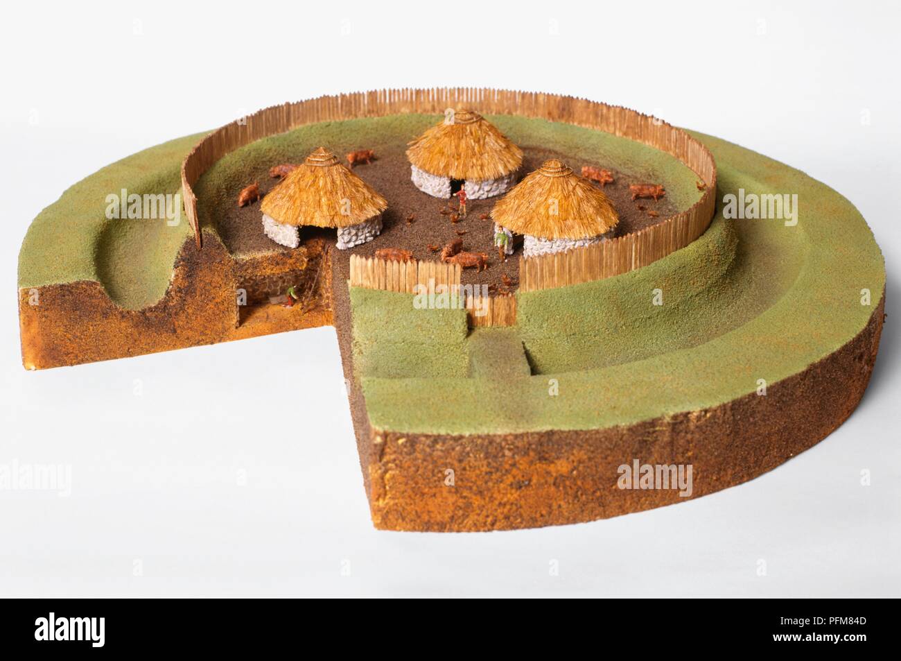 Lios/ Ring FortArchaeological place · 34 yd
 Carraig-ín MhóireNamed rock · 180 yd
 Faill na BristeCliff · 370 yd
 Cúisín DarraíBeach / strand · 436 yd
 Seaview Housefarm house · 444 yd
 Kill (site of )Burial ground · 461 yd
 Cuas DallBeach / strand · 467 yd
 Seomraí Faoi ThalamhCave · 906 yd
 Eve IslandIslet · 1411 yd
 Péicin Thalamh na GainmheMountain / peak · 1478 yd
 Adam's IslandIslet · 1697 yd
 An Gróibin ThuaidhWood · 1.1 mi