What is recorded here
Carrigfadda holds a circular earthen ring with a stone-faced bank and a smaller internal hut site, waiting for people to remember how they used the edge of the slope. The eastern gap admits daylight, rain and curiosity; the rest of the circle keeps what it catches.
In pasture, on break in SE-facing slope. Circular raised area (19.6m N-S; 21.95m E-W) enclosed by earthen bank (H 1.1m) W->E, stone faced in parts; scarp E->W. Gap (Wth 2.7m) in bank to E. Circular hut site (CO134-007001-) in interior (6.8m N-S; 6.55m E-W), defined by low earth and stone bank.
The above description is derived from the published 'Archaeological Inventory of County Cork. Volume 1: West Cork' (Dublin: Stationery Office, 1992). In certain instances the entries have been revised and updated in the light of recent research.
Date of upload/revision: 14 January 2009
The monument record does not grant public access. Check the route and ask the landowner before entering private land.
- What survives
- Recorded monument
Places near here
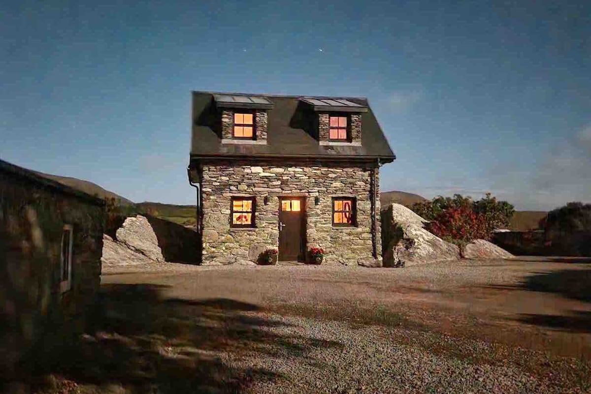 Hut site in Carrigfadda (carbery East (w.d.) By.)Hut site · 1 yd
 Enclosure in Carrigfadda (carbery East (w.d.) By.)Enclosure · 359 yd
 Cross commemorating Holy Day.Memorial · 929 yd
 CarrigfaddaMountain / peak · 934 yd
 MillMill, woollen · 1.4 mi
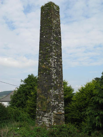 chimneychimney · 1.4 mi
 Jeremiah O'Donovan RossaMemorial · 1.4 mi
 Castle SalemCastle · 2.7 mi
 Leap waterfallHeritage attraction · 4.1 mi
 Walk 1 - Drombeg Standing Stone Circle (7 - 9 km)Walking route · 4.4 mi
 Drombeg Stone CircleArchaeological place · 4.5 mi
 Drombeg Fulacht Fia and RuinsVisitor information · 4.5 mi