
What is recorded here
In pasture, on break in S-facing slope. No visible surface trace. According to local information, circular area (diam. c. 18m) enclosed by earth and stone bank levelled in early 1970s.
The above description is derived from the published 'Archaeological Inventory of County Cork. Volume 1: West Cork' (Dublin: Stationery Office, 1992). In certain instances the entries have been revised and updated in the light of recent research.
Date of upload/revision: 14 January 2009
The monument record does not grant public access. Check the route and ask the landowner before entering private land.
- What survives
- Recorded monument
Places near here
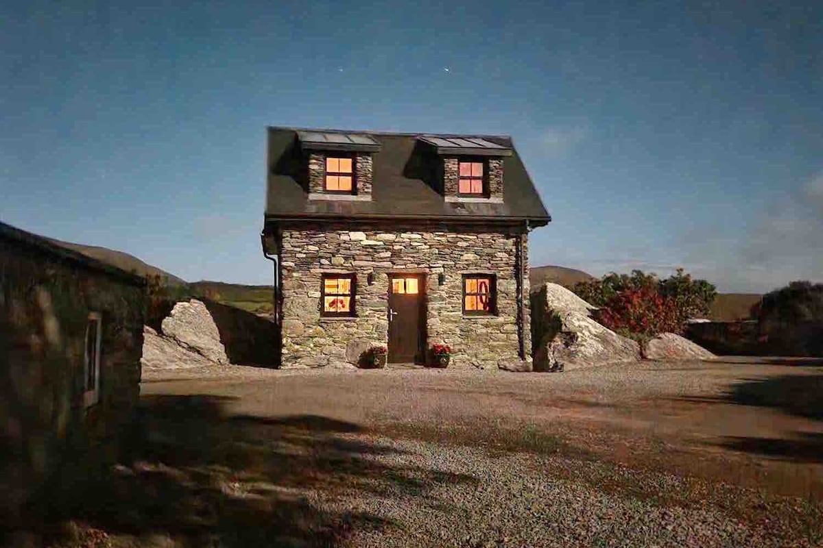 Hut site in Carrigfadda (carbery East (w.d.) By.)Hut site · 359 yd
 Man-made underground passage in Tullig (carbery East (w.d) By.)Man-made underground passage · 960 yd
 CarrigfaddaMountain / peak · 1003 yd
 Cross commemorating Holy Day.Memorial · 1065 yd
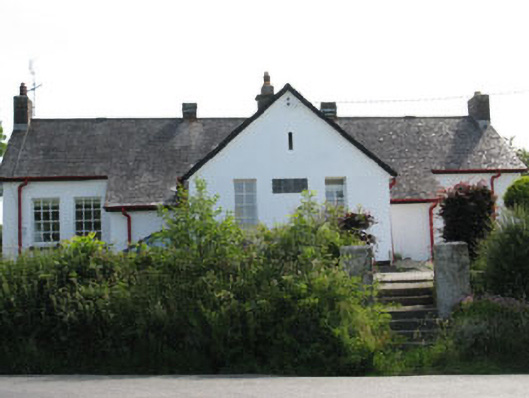 schoolschool · 1.3 mi
 William Thompson MemorialMemorial · 1.3 mi
 MillMill, woollen · 1.5 mi
 Castle SalemCastle · 2.7 mi
 Leap waterfallHeritage attraction · 3.9 mi
 Walk 1 - Drombeg Standing Stone Circle (7 - 9 km)Walking route · 4.3 mi
 Drombeg Stone CircleArchaeological place · 4.4 mi
 Drombeg Fulacht Fia and RuinsVisitor information · 4.4 mi
Other information
Photo: Credit not shown in the picture search · Rights wording not checked; contact us if this picture should be removed