What is recorded here
Carrigdangan holds a true ringfort where local lore still calls it a fairy fort. Earthen banks and a stone-faced edge enclose a small pasture slope, marking human craft rather than fantasy. The name may preserve old wonder, but the structure preserves the lives of the people who built and used it.
In pasture, on SSW-facing slope. Roughly circular area (24m N-S; 21m E-W) defined by earthen bank (H 1m) W->S; scarp (H 2.6m) elsewhere. Bank stone-faced NW->SSE. Gap in bank to SSW. Interior raised on SW side to compensate for hillslope; crossed by remains of cultivation ridges on NNE-SSW axis; at SSW edge are two upright stones aligned E-W; 2m inside N bank is irregularly shaped sandstone block (H 0.93m; 1.6m x 0.5m).
The above description is derived from the published 'Archaeological Inventory of County Cork. Volume 3: Mid Cork' (Dublin: Stationery Office, 1997). In certain instances the entries have been revised and updated in the light of recent research.
Date of upload/revision: 14 January 2009
The monument record does not grant public access. Check the route and ask the landowner before entering private land.
- What survives
- Recorded monument
Places near here
 Man-made underground passage in CarrigdanganMan-made underground passage · 283 yd
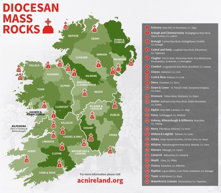 Mass-rock in CarrigdanganMass-rock · 1068 yd
 Mass-house in CarrigdanganMass-house · 1114 yd
 IndicatedChurch · 1247 yd
 Kilmichael Ambushambush · 2.3 mi
 Kilmichael Ambush SiteMonument · 2.3 mi
 Gortnahoughtee Mass RockNamed rock · 2.3 mi
 OCrowleys Castle (in Ruins)Castle, tower house · 2.9 mi
 Carrignacurra CastleCastle · 3.2 mi
 Mount ProspectMountain / peak · 3.5 mi
 Funmanway Adventure LandHeritage attraction · 3.7 mi
 Mount GunneryMountain / peak · 4.0 mi