
What is recorded here
Discovered in 1988 during field fence clearance. At least three earth-cut chambers. Chamber 1: (L 2.75m; Wth 1.3m; H 1.2m); access gained through hole in roof. Chamber 2: (L 2.38m; Wth 2.19m; H 1.23m) entered to E from creepway at W side of chamber 1; construction shaft at SE side; creepway at SW side to third, now collapsed, chamber. Not possible to explore further due to this collapse. Original entrance not identified.
The above description is derived from the published 'Archaeological Inventory of County Cork. Volume 3: Mid Cork' (Dublin: Stationery Office, 1997). In certain instances the entries have been revised and updated in the light of recent research.
Date of upload/revision: 14 January 2009
The monument record does not grant public access. Check the route and ask the landowner before entering private land.
- What survives
- Recorded monument
Places near here
 BealickWedge tomb · 816 yd
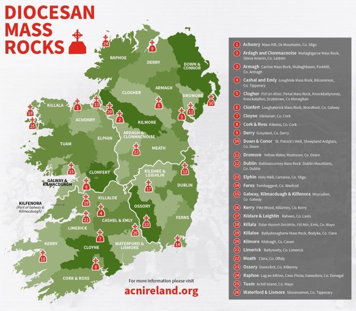 Mass-rock in CarrigdanganMass-rock · 868 yd
 Mass-house in CarrigdanganMass-house · 923 yd
 IndicatedChurch · 1502 yd
 Kilmichael Ambushambush · 2.3 mi
 Kilmichael Ambush SiteMonument · 2.3 mi
 Gortnahoughtee Mass RockNamed rock · 2.3 mi
 Carrignacurra CastleCastle · 3.0 mi
 OCrowleys Castle (in Ruins)Castle, tower house · 3.1 mi
 Mount ProspectMountain / peak · 3.4 mi
 Funmanway Adventure LandHeritage attraction · 3.9 mi
 Mount GunneryMountain / peak · 4.2 mi
Other information
Photo: Credit not shown in the picture search · Rights wording not checked; contact us if this picture should be removed