What is recorded here
Carrigcannon holds a circular bivallate enclosure roughly thirty-five metres across, marked on the 1902 Ordnance Survey map as a fairy fort. The earthworks still stand inside Carbery East, yet a landowner refused permission to inspect them, keeping the interior hidden from formal study. That refusal transforms the site into a living boundary: human hands built it, memory renamed it, and possession still controls who may witness the truth.
Shown on OS 6-inch map (1902) as hachured circular bivallate enclosure (diam. c. 35m). Permission to inspect site refused by landowner.
The above description is derived from the published 'Archaeological Inventory of County Cork. Volume 1: West Cork' (Dublin: Stationery Office, 1992). In certain instances the entries have been revised and updated in the light of recent research.
Date of upload/revision: 14 January 2009
The monument record does not grant public access. Check the route and ask the landowner before entering private land.
- What survives
- Recorded monument
Places near here
 Garraneanasig National Schoolschool · 577 yd
 Sea Viewgate lodge · 887 yd
 Castle (in Ruins)Castle, tower house · 1087 yd
 Scott's StrandBeach / strand · 1330 yd
 Howe's StrandBeach / strand · 1569 yd
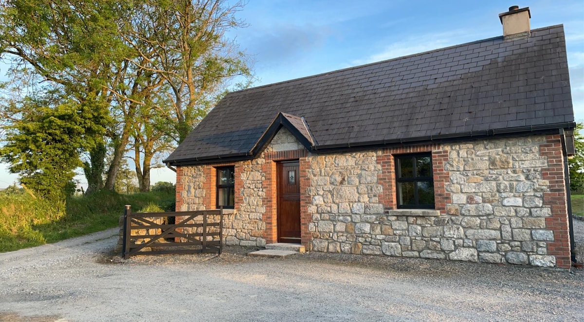 Fulacht fia in HacketstownFulacht fia · 1.0 mi
 Enclosure in Rochestown (carbery East (e.d) By.)Enclosure · 1.2 mi
 Garranereagh WoodWood · 1.4 mi
 Garrettstown ForestWood · 1.6 mi
 Hackstown Raised Beach GeologyNamed rock · 1.7 mi
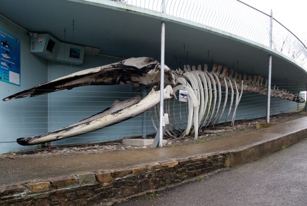 Kilbrittain WhaleHeritage attraction · 2.2 mi
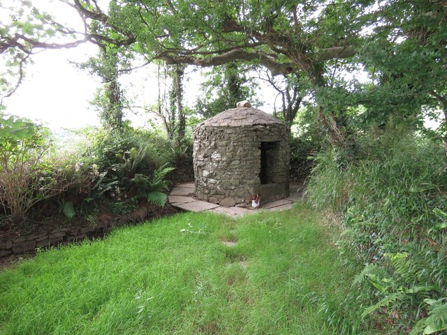 Trinity WellSpring · 2.2 mi