What is recorded here
Fairy fort / earthen ringfort in Carrigan More is a fairy fort or earthen ringfort in Carrigan More, County Roscommon, Ireland. It forms a subcircular grass-covered area measuring 18.4 metres NNW-SSE and 14.8 metres ENE-WSW, defined by a 2.2-metre-wide earthen bank with four young oak trees planted on it. The site sits towards the bottom of a NE-facing slope in the lawn of a modern house, about 200 metres north-east of rath RO045-147----. A slight outer ditch recorded by Gannon in 1972 is no longer visible.
Marked as a small feature (diam. c. 20m) only on the 1915 ed. of the OS 6-inch map, and situated towards the bottom of a NE-facing slope in the lawn of a modern house. Subcircular grass-covered area (dims 18.4m NNW-SSE; 14.8m ENE-WSW) defined by an earthen bank (Wth 2.2m; int. H 0.3m; ext. H 0.4-0.6m) with four young oak trees planted on it. It had a slight outer fosse or ditch (Gannon 1972) that is no longer visible. It might be a rath, and rath (RO045-147----) is c. 200m to the SSW.
Compiled by: Michael Moore
Date of upload: 24 August 2010
The monument record does not grant public access. Check the route and ask the landowner before entering private land.
- What survives
- Recorded monument
Places near here
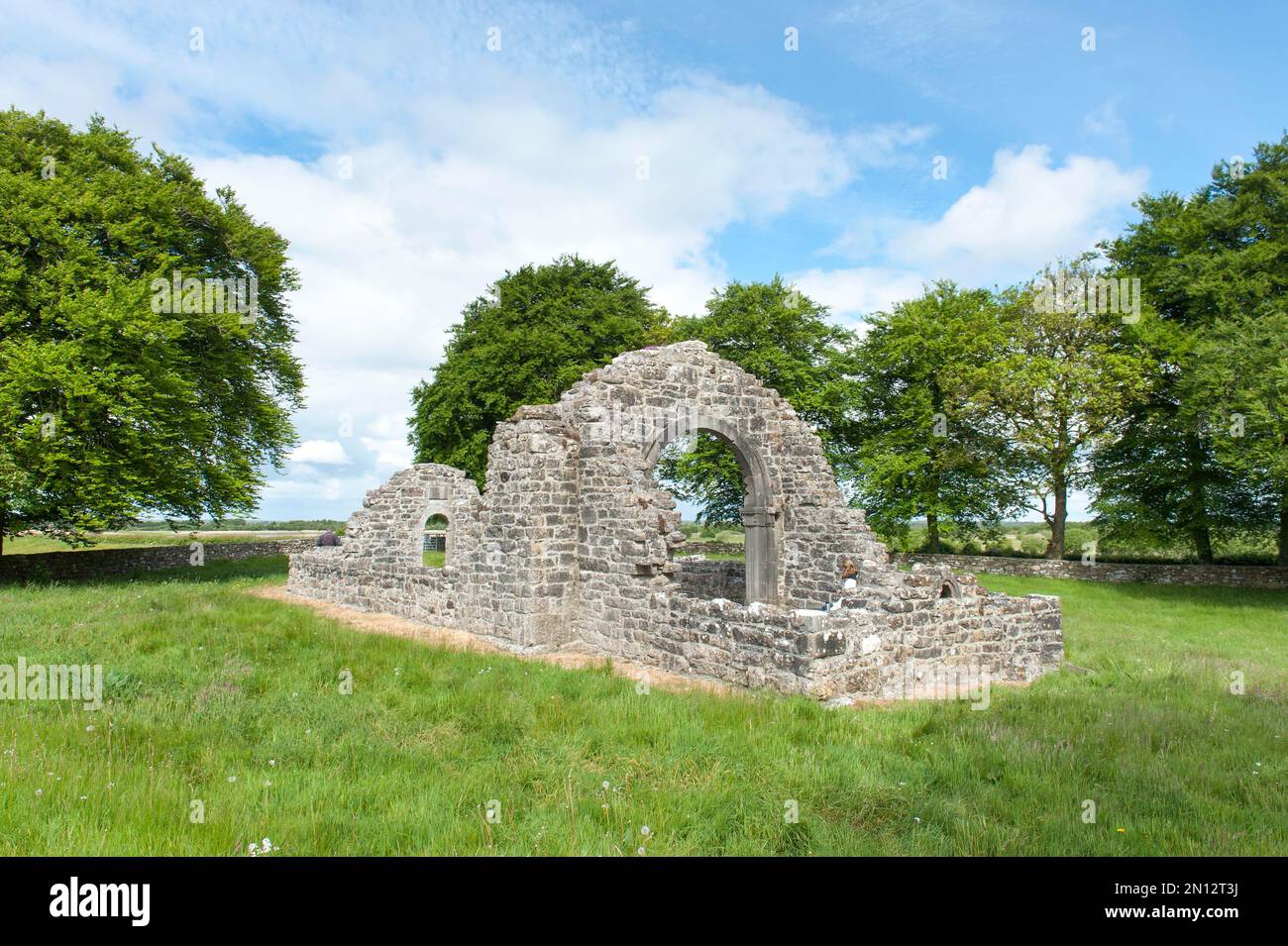 Embanked enclosureFairy fort / earthen ringfort · 296 yd
 IndicatedFairy fort / earthen ringfort · 663 yd
 Kilcommon ChurchChurch · 1.4 mi
 InchihicleleyIslet · 1.6 mi
 InchmoreIslet · 1.7 mi
 CarnaghHouse, 18th/19th century · 1.9 mi
 Kilmore BayBay · 2.3 mi
 Carnagh BayBay · 2.5 mi
 Castle (Site of)Castle, unclassified · 3.0 mi
 CastleCastle, tower house · 3.1 mi
 RindoonWood · 3.1 mi
 St. John's WoodWood · 3.4 mi