What is recorded here
Mortons has no front door because the whole room is the show. The owner hangs local paintings, sells postcards and lets anyone touch the levers that move the cameras. A small chamber becomes a public control room for the town, inviting people to watch the harbour, feed the machines and carry the picture home.
This univallate rath is situated on gently sloping land and has an extensive view of the surrounding countryside. It consists of a roughly circular area enclosed by an earthen bank and a slight exterior fosse from the NW-W. The external height of the bank above the fosse measures 1.6m, the internal height 1m and the width of the bank at the base is on average 3.5m. N-NE, the bank only survives as a slight rise above the surrounding land. The interior is gently sloping N. The fosse is 1m wide and .8m below the height of the surrounding land.
The above description is derived from C. Toal, ‘North Kerry Archaeological Survey’. Dingle. Brandon in association with FAS Training and Employment Authority (1995), no. 160. In certain instances the entries have been revised and updated in the light of recent research.
Date of upload: 2 August 2013
The monument record does not grant public access. Check the route and ask the landowner before entering private land.
- What survives
- Recorded monument
Places near here
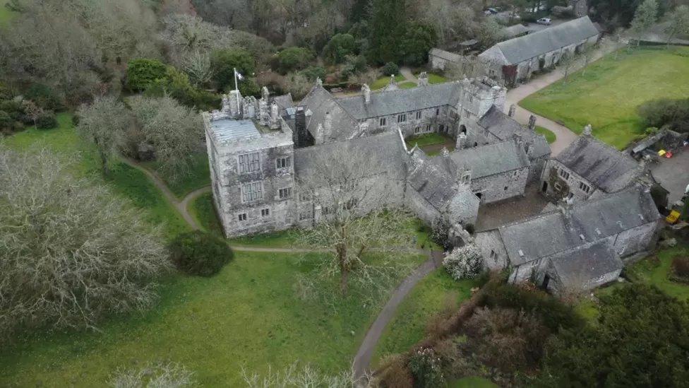 ToberscatteryHoly well · 563 yd
 CastleCastle, ringwork · 681 yd
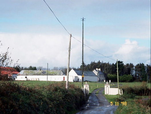 Kilelton Farm Yardfarmyard complex · 691 yd
 TobereltonHoly well · 720 yd
 Siege of Carrigafoyle Castlesiege · 738 yd
 Church (in ruins)Church · 794 yd
 Carrigafoyle Cas. (in ruins)Castle, tower house · 867 yd
 Carrig IslandIsland · 1276 yd
 Fawley's PointHeadland · 3.3 mi
 Scattery IslandIsland · 3.4 mi
 Scattery Island Visitor CentreVisitor information · 3.5 mi
 Cusheen PointHeadland · 3.8 mi