What is recorded here
Fairy fort in Carrickmoran, County Longford: a subcircular raised area about thirty-five metres across, with two low banks and two shallow fosses on a gentle SE-facing pasture slope. A modern field wall cuts across the outer bank at ENE, and scrub now smotheres most of the line. The entrance may have faced NE, leaving the old boundary half-erased but still readable beneath grass, stone and forgetting.
On a gentle SE-facing slope in pasture. Described in 1986 (SMR file) as a raised subcircular area (c. 35m NW-SE; c. 32m NE-SW) enclosed by two low banks of earth and stone and two shallow fosses. A modern field wall cut across the line of the outer bank at ENE. The outermost fosse was identifiable only at N and NE. The original entrance may have been at NE. The monument is very densely overgrown with scrub.
Compiled by: Patrick F. O'Donovan
Date of upload: 26 August 2011
The monument record does not grant public access. Check the route and ask the landowner before entering private land.
- What survives
- Recorded monument
Places near here
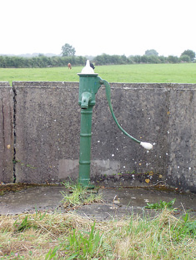 water pumpwater pump · 787 yd
 Man-made underground passage in FortwilliamMan-made underground passage · 819 yd
 Man-made underground passage in Aghavadden,glebe (rathcline By., Cashel West Ed)Man-made underground passage · 1375 yd
 Church (in Ruins)Church · 1649 yd
 Priest's IslandIslet · 1.2 mi
 Caltragh CastleCastle, unclassified · 1.4 mi
 Elfeet CastleCastle, Anglo-Norman masonry castle · 1.6 mi
 InchcleraunIsland · 2.0 mi
 Elfeet BayBay · 2.0 mi
 Culnagore WoodForest · 2.1 mi
 Black RockNamed rock · 3.1 mi
 St. John's WoodWood · 3.5 mi