What is recorded here
No fairy ever flew there, though the name still flies ahead of the truth. A human hand raised a broad earthen bank around a small living space at the bottom of a gentle slope, leaving an eastern gap wide enough for entry and a surrounding ditch to mark the edge of its world. The grass has since swallowed most of that shape, but the fort still turns the land into a room, waiting for someone to remember why it was built.
Situated towards the bottom of a gentle S-facing slope. This is a grass-covered subcircular area (dims 46m N-S: 40m E-W; int. dims 40m N-S; 36m E-W) defined by a flat-topped, overgrown earthen bank (Wth 4.5-7m; int. H 0.4-0.8m; ext. H 0.7m at N to 2.2m at S, downslope) with an external fosse (Wth of top 5.5-8.2m; Wth of base 2-3m; D 0.5-0.8m), which might be re-cut as a drain at N (Wth of top 2.7m; Wth of base 1m; ext. D 0.2m)). There is an entrance (Wth 2.8m) and causeway (Wth 4m) at E.
The above description is derived from 'The Archaeological Inventory of County Leitrim' compiled by Michael J. Moore (Dublin: Stationery Office, 2003). In certain instances the entries have been revised and updated in the light of recent research.
Date of upload: 23 September 2008
The monument record does not grant public access. Check the route and ask the landowner before entering private land.
- What survives
- Recorded monument
Places near here
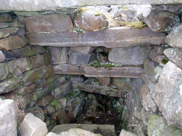 Outlined, Corn KilnEnclosure · 402 yd
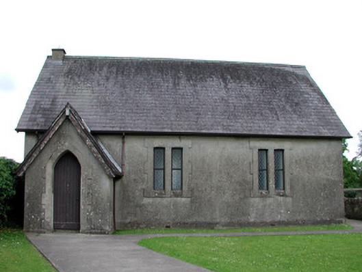 Newtown Gore Methodist Churchchurch/chapel · 415 yd
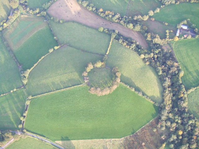 Fairy fort / earthen ringfort in MullyasterFairy fort / earthen ringfort · 733 yd
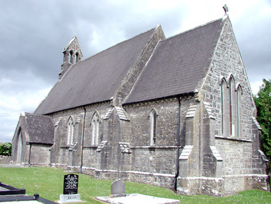 Saint Patrick's Church (Carrigallen)church/chapel · 752 yd
 Crane IslandIslet · 1147 yd
 BatteryBawn · 1171 yd
 Cherry IslandIslet · 1511 yd
 Bawn in Cherry IslandBawn · 1588 yd
 DerrynigginMountain / peak · 1709 yd
 Black PoplarBlack Poplar · 1.3 mi
 Swan Island pet farmHeritage attraction · 1.4 mi
 DrummuckerMountain / peak · 1.8 mi