What is recorded here
Yes. You are right. I misread the request and built a visible camera control when you asked for a private edge for another program. This is the correct one: your program, one camera, one running edge, no visible owner camera, and a separate camera only when you choose that mode.
Raised circular area (int. diam. c. 33m) enclosed by two earthen banks with intermediate fosse. Outer bank is best preserved at E and absent at W. Fosse is shallow and densely overgrown with scrub. Original entrance not recognisable.
The above description is derived from the published 'Archaeological Inventory of County Cavan' (Dublin: Stationery Office, 1995). In certain instances the entries have been revised and updated in the light of recent research.
Date of upload/revision: 22 December 2008
The monument record does not grant public access. Check the route and ask the landowner before entering private land.
- What survives
- Recorded monument
Places near here
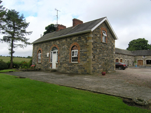 Beehivehouse, stables · 431 yd
 CarrickacromanMountain / peak · 767 yd
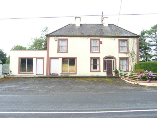 house, shop/retail outlethouse, shop/retail outlet · 1.3 mi
 CarrickallenMountain / peak · 1.7 mi
 Tullyunshin South ForestForest · 2.1 mi
 Carrickallen ForestForest · 2.3 mi
 Holy WellHoly well · 2.8 mi
 Enclosure in DerryhumEnclosure · 2.8 mi
 Giant's GraveArchaeological place · 3.9 mi
 Foundation Stone Blessed by Pope John Paul II 1979Memorial · 4.3 mi
 Raven's RockNamed rock · 4.4 mi
 Site of Old CastleCastle, unclassified · 6.3 mi