What is recorded here
Mud and memory have built a rectangular chamber in Carrick West, large enough for a dozen people to breathe together when rain fell. Two earthen banks still stand around a waterlogged ditch, and a causeway marks the entrance where someone once chose to enter rather than wander past. The fairies may have taken the names, but the shape remains honest: a place made for living, defending, and returning.
Raised subrectangular area (int. dims. 24.8mNW-SE; 21m NE-SE) enclosed by two substantial earthen banks with intermediate wide, deep waterlogged fosse. Corresponding breaks in banks at NW with accompanying causeway represents original entrance.
The above description is derived from the published 'Archaeological Inventory of County Cavan' (Dublin: Stationery Office, 1995). In certain instances the entries have been revised and updated in the light of recent research.
Date of upload/revision: 22 December 2008
The monument record does not grant public access. Check the route and ask the landowner before entering private land.
- What survives
- Recorded monument
Places near here
 IndicatedFairy fort / stone ringfort · 583 yd
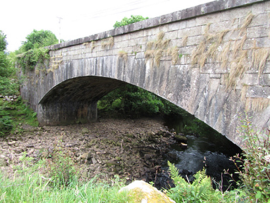 bridgebridge · 652 yd
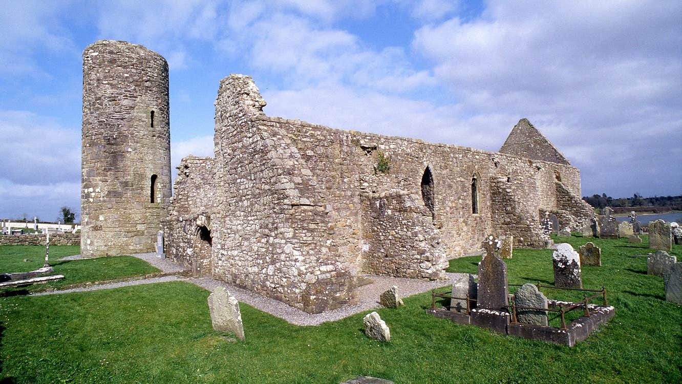 Moneensauran Cuilcagh Anierin Uplands Special Area of ConservationNature reserve · 1.2 mi
 CurraghvahMountain / peak · 1.3 mi
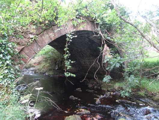 Carty’s Bridgebridge · 1.4 mi
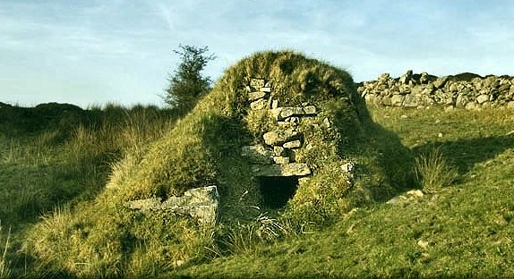 Sweathouse in GowlatSweathouse · 1.5 mi
 ArdvaghMountain / peak · 1.6 mi
 Foxes CaveCave · 1.6 mi
 Crofton's HillForest · 1.6 mi
 CarrignahastaCliff · 1.7 mi
 PlaygroudCliff · 1.9 mi
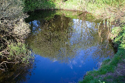 Shannon PotSpring · 3.4 mi