What is recorded here
Situated on the SW-facing slope of a hill in pasture. Not indicated on 1the st ed. OS 6-inch map and only the N half is depicted on the latest ed. A univallate ringfort consisting of an oval-shaped area (diam. 31.2m N-S; 27.2m E-W) defined by a broad, flat bank (Wth 3m; int. H 0.6m; ext. H 1m) and a wide, U-shaped fosse (Wth 3.3m; D 0.45m). A break in the bank in the SW quadrant (Wth 5.4m) may be the remains of an entrance. Part of bank has been dug into in the NE quadrant.
The above description is derived from 'The Archaeological Inventory of County Tipperary. Vol. 1 - North Tipperary' compiled by Jean Farrelly and Caimin O'Brien (Dublin: Stationery Office, 2002). In certain instances the entries have been revised and updated in the light of recent research.
Date of upload/revision: 22 September 2008
The monument record does not grant public access. Check the route and ask the landowner before entering private land.
- What survives
- Recorded monument
Places near here
 Enclosure in Lackenavorna,tiermoyleEnclosure · 886 yd
 IndicatedCastle, motte · 952 yd
 Interragh HillMountain / peak · 1423 yd
 Enclosure in TiermoyleEnclosure · 1663 yd
 Moat of LatteraghCastle, motte · 1.3 mi
 Grenanstown Househouse · 1.4 mi
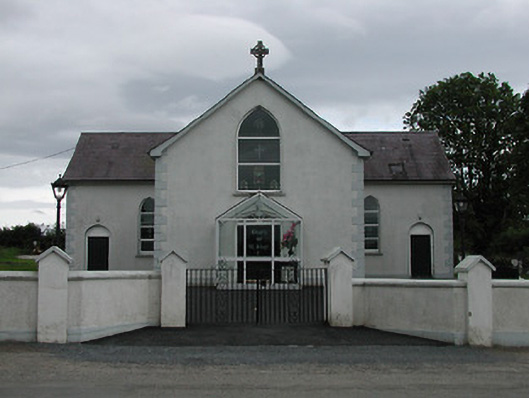 Saint Joseph's Catholic Churchchurch/chapel · 1.4 mi
 Knockacraheen HillMountain / peak · 1.4 mi
 Killavalla WoodForest · 1.7 mi
 Kyleroe WoodWood · 3.6 mi
 James Devaney MemorialMemorial · 6.1 mi
 Silvermines ViewpointViewpoint · 7.3 mi